
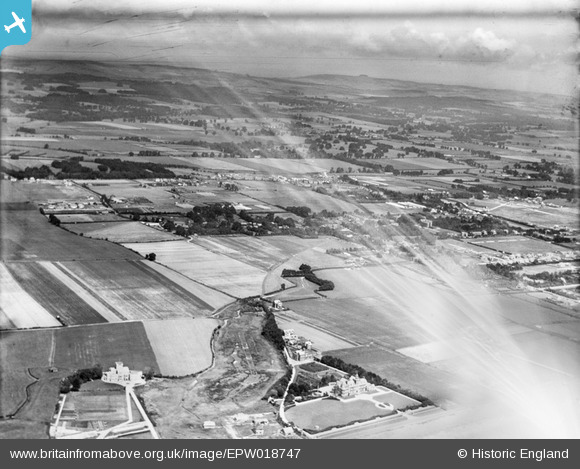
EPW018747 ENGLAND (1927). The town and environs, Rustington, from the south-west, 1927
© Copyright OpenStreetMap contributors and licensed by the OpenStreetMap Foundation. 2026. Cartography is licensed as CC BY-SA.
Nearby Images (9)
EPW018747

EAW053149

EAW053140

EAW053150

EAW053142

EAW053147

EAW053146

EPW018753

EPW018748

Details
| Title | [EPW018747] The town and environs, Rustington, from the south-west, 1927 |
| Reference | EPW018747 |
| Date | July-1927 |
| Link | |
| Place name | RUSTINGTON |
| Parish | RUSTINGTON |
| District | |
| Country | ENGLAND |
| Easting / Northing | 504653, 101968 |
| Longitude / Latitude | -0.5145407291949, 50.807238805597 |
| National Grid Reference | TQ047020 |
Pins
Be the first to add a comment to this image!