
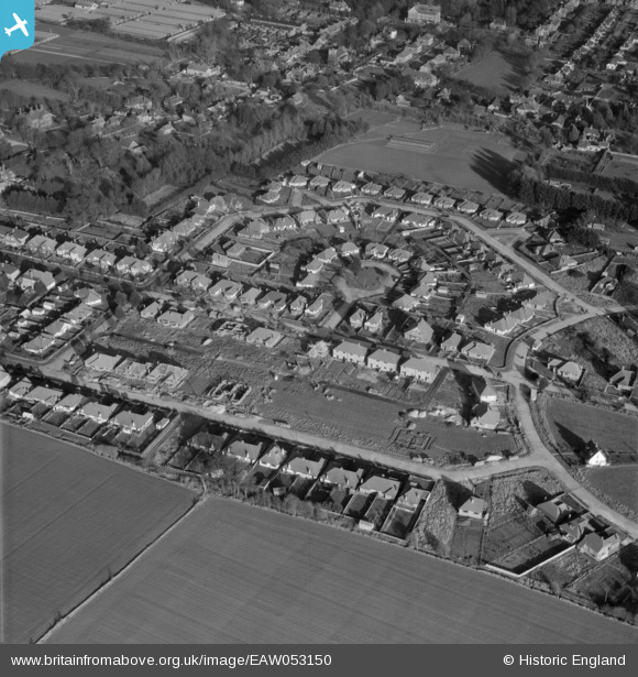
EAW053150 ENGLAND (1954). Chaucer Avenue and housing under construction along Milton Avenue, Rustington, 1954
© Copyright OpenStreetMap contributors and licensed by the OpenStreetMap Foundation. 2026. Cartography is licensed as CC BY-SA.
Nearby Images (8)
EAW053150

EAW053142

EAW053147

EAW053149

EAW053146

EAW053151

EPW018747

EPW018753

Details
| Title | [EAW053150] Chaucer Avenue and housing under construction along Milton Avenue, Rustington, 1954 |
| Reference | EAW053150 |
| Date | 20-February-1954 |
| Link | |
| Place name | RUSTINGTON |
| Parish | RUSTINGTON |
| District | |
| Country | ENGLAND |
| Easting / Northing | 504599, 102135 |
| Longitude / Latitude | -0.51525933694326, 50.808749982351 |
| National Grid Reference | TQ046021 |
Pins
Be the first to add a comment to this image!