
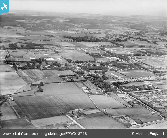
EPW018748 ENGLAND (1927). The town and environs, Rustington, from the south-west, 1927
© Copyright OpenStreetMap contributors and licensed by the OpenStreetMap Foundation. 2026. Cartography is licensed as CC BY-SA.
Nearby Images (3)
EPW018748

EPW018747

EAW053149

Details
| Title | [EPW018748] The town and environs, Rustington, from the south-west, 1927 |
| Reference | EPW018748 |
| Date | July-1927 |
| Link | |
| Place name | RUSTINGTON |
| Parish | RUSTINGTON |
| District | |
| Country | ENGLAND |
| Easting / Northing | 504868, 101944 |
| Longitude / Latitude | -0.51149694584141, 50.806984144217 |
| National Grid Reference | TQ049019 |
Pins

timd |
Friday 10th of November 2023 11:01:22 AM |