
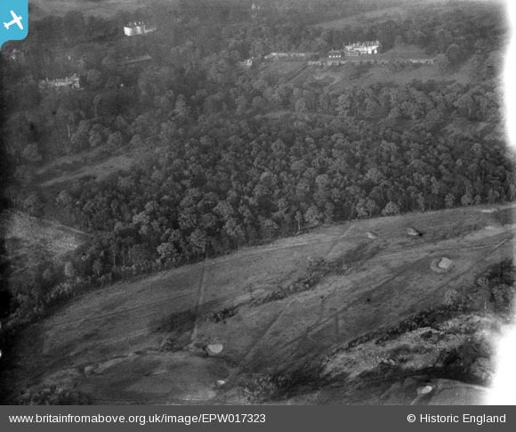
EPW017323 ENGLAND (1926). Coombe Hill Golf Course and Coombe Hurst, Coombe, 1926
© Copyright OpenStreetMap contributors and licensed by the OpenStreetMap Foundation. 2025. Cartography is licensed as CC BY-SA.
Nearby Images (3)
EPW017323

EPW017156

EPW017321

Details
| Title | [EPW017323] Coombe Hill Golf Course and Coombe Hurst, Coombe, 1926 |
| Reference | EPW017323 |
| Date | 16-December-1926 |
| Link | |
| Place name | COOMBE |
| Parish | |
| District | |
| Country | ENGLAND |
| Easting / Northing | 520733, 171043 |
| Longitude / Latitude | -0.26327280886472, 51.425026854465 |
| National Grid Reference | TQ207710 |
Pins
Be the first to add a comment to this image!