
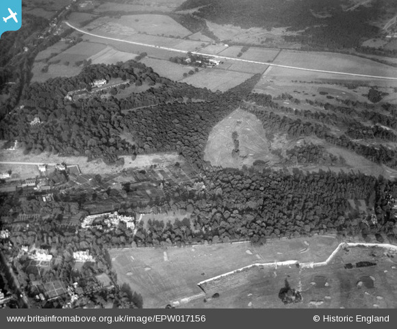
EPW017156 ENGLAND (1926). Coombe Hill Golf Course and environs, Coombe, 1926
© Copyright OpenStreetMap contributors and licensed by the OpenStreetMap Foundation. 2025. Cartography is licensed as CC BY-SA.
Nearby Images (2)
EPW017156

EPW017323

Details
| Title | [EPW017156] Coombe Hill Golf Course and environs, Coombe, 1926 |
| Reference | EPW017156 |
| Date | October-1926 |
| Link | |
| Place name | COOMBE |
| Parish | |
| District | |
| Country | ENGLAND |
| Easting / Northing | 520603, 170946 |
| Longitude / Latitude | -0.2651749419234, 51.424182654377 |
| National Grid Reference | TQ206709 |
Pins
Be the first to add a comment to this image!