
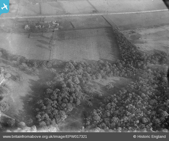
EPW017321 ENGLAND (1926). Robin Hood Farm and Coombe Hurst, Coombe, 1926
© Copyright OpenStreetMap contributors and licensed by the OpenStreetMap Foundation. 2025. Cartography is licensed as CC BY-SA.
Nearby Images (2)
EPW017321

EPW017323

Details
| Title | [EPW017321] Robin Hood Farm and Coombe Hurst, Coombe, 1926 |
| Reference | EPW017321 |
| Date | 16-December-1926 |
| Link | |
| Place name | COOMBE |
| Parish | |
| District | |
| Country | ENGLAND |
| Easting / Northing | 520960, 171241 |
| Longitude / Latitude | -0.25994145011219, 51.426758159436 |
| National Grid Reference | TQ210712 |
Pins
Be the first to add a comment to this image!