
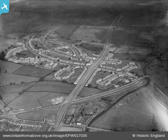
EPW017035 ENGLAND (1926). The Pype Hayes and Tyburn Road area, Tyburn, 1926
© Copyright OpenStreetMap contributors and licensed by the OpenStreetMap Foundation. 2026. Cartography is licensed as CC BY-SA.
Nearby Images (3)
EPW017035

EPW017034

EPW017033

Details
| Title | [EPW017035] The Pype Hayes and Tyburn Road area, Tyburn, 1926 |
| Reference | EPW017035 |
| Date | 6-October-1926 |
| Link | |
| Place name | TYBURN |
| Parish | |
| District | |
| Country | ENGLAND |
| Easting / Northing | 412611, 291245 |
| Longitude / Latitude | -1.814128357513, 52.518576110748 |
| National Grid Reference | SP126912 |
Pins

Templer |
Thursday 2nd of March 2017 06:02:32 PM | |

Class31 |
Wednesday 31st of October 2012 09:59:57 AM | |
|
Class31 |
Wednesday 31st of October 2012 09:59:24 AM | |
|
Class31 |
Wednesday 31st of October 2012 09:58:07 AM | |
|
Class31 |
Wednesday 31st of October 2012 09:56:43 AM | |
|
Class31 |
Wednesday 31st of October 2012 09:55:30 AM | |
|
Class31 |
Wednesday 31st of October 2012 09:55:06 AM | |
|
Class31 |
Wednesday 31st of October 2012 09:54:30 AM | |
|
Class31 |
Wednesday 31st of October 2012 09:53:58 AM | |

frothy |
Sunday 21st of October 2012 08:51:58 AM | |
|
Steve |
Tuesday 26th of June 2012 03:45:04 PM | |
|
Steve |
Tuesday 26th of June 2012 03:43:45 PM |