
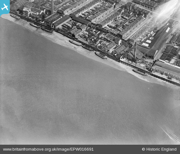
EPW016691 ENGLAND (1926). Claude Street and environs, Millwall, 1926
© Copyright OpenStreetMap contributors and licensed by the OpenStreetMap Foundation. 2026. Cartography is licensed as CC BY-SA.
Nearby Images (18)
EPW016691

EPW015768

EPW016693

EAW045672

EAW045671

EAW045668

EPW016689

EAW045670

EAW045667

EPW016687

EAW045665

EAW045666

EPW016688

EPW016692

EAW045664

EPW015764

EAW045669

EPW016690

Details
| Title | [EPW016691] Claude Street and environs, Millwall, 1926 |
| Reference | EPW016691 |
| Date | August-1926 |
| Link | |
| Place name | MILLWALL |
| Parish | |
| District | |
| Country | ENGLAND |
| Easting / Northing | 537075, 178807 |
| Longitude / Latitude | -0.025326522010019, 51.491086439979 |
| National Grid Reference | TQ371788 |
Pins

Con Maloney |
Saturday 4th of May 2013 03:49:31 PM | |
|
Con Maloney |
Saturday 4th of May 2013 03:48:49 PM | |
|
Con Maloney |
Saturday 4th of May 2013 03:48:28 PM | |
|
Con Maloney |
Saturday 4th of May 2013 03:47:39 PM | |
|
Con Maloney |
Saturday 4th of May 2013 03:47:00 PM |
