
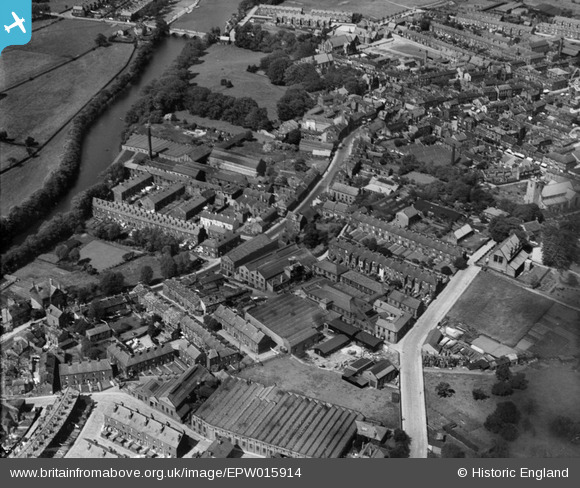
EPW015914 ENGLAND (1926). The Atlas Iron Works and Westgate, Otley, 1926
© Copyright OpenStreetMap contributors and licensed by the OpenStreetMap Foundation. 2026. Cartography is licensed as CC BY-SA.
Nearby Images (14)
EPW015914

EPW015913

EPW015908

EPW015910

EPW024485

EPW015911

EPW015915

EPW024484

EPW015810

EPW015812

EPW024483

EPW015803

EPW015802

EPW015840

Details
| Title | [EPW015914] The Atlas Iron Works and Westgate, Otley, 1926 |
| Reference | EPW015914 |
| Date | June-1926 |
| Link | |
| Place name | OTLEY |
| Parish | OTLEY |
| District | |
| Country | ENGLAND |
| Easting / Northing | 419959, 445387 |
| Longitude / Latitude | -1.6961811059287, 53.904058613717 |
| National Grid Reference | SE200454 |
Pins
Be the first to add a comment to this image!