
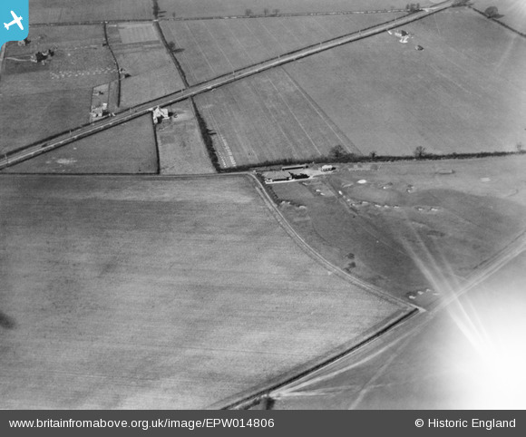
EPW014806 ENGLAND (1926). South Bedfordshire Golf Club, Luton, 1926
© Copyright OpenStreetMap contributors and licensed by the OpenStreetMap Foundation. 2025. Cartography is licensed as CC BY-SA.
Nearby Images (5)
EPW014806

EPW014802

EPW014805

EPW014804

EPW014803

Details
| Title | [EPW014806] South Bedfordshire Golf Club, Luton, 1926 |
| Reference | EPW014806 |
| Date | 24-March-1926 |
| Link | |
| Place name | LUTON |
| Parish | |
| District | |
| Country | ENGLAND |
| Easting / Northing | 508499, 225529 |
| Longitude / Latitude | -0.42225376689455, 51.917269001699 |
| National Grid Reference | TL085255 |
Pins

zebra99 |
Wednesday 4th of December 2013 09:19:28 AM | |
|
zebra99 |
Wednesday 4th of December 2013 09:18:16 AM | |
|
zebra99 |
Wednesday 4th of December 2013 09:17:07 AM | |
|
zebra99 |
Wednesday 4th of December 2013 09:15:54 AM | |
|
zebra99 |
Wednesday 4th of December 2013 09:14:34 AM | |
|
zebra99 |
Wednesday 4th of December 2013 09:12:59 AM | |
|
zebra99 |
Wednesday 4th of December 2013 09:11:41 AM | |
|
zebra99 |
Wednesday 4th of December 2013 09:09:58 AM | |
|
zebra99 |
Wednesday 4th of December 2013 09:08:19 AM |