
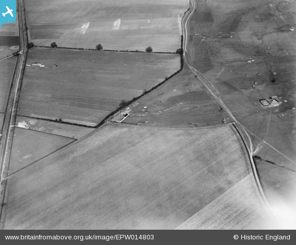
EPW014803 ENGLAND (1926). South Bedfordshire Golf Club, Luton, 1926
© Copyright OpenStreetMap contributors and licensed by the OpenStreetMap Foundation. 2025. Cartography is licensed as CC BY-SA.
Nearby Images (5)
EPW014803

EPW014804

EPW014806

EPW014802

EPW014805

Details
| Title | [EPW014803] South Bedfordshire Golf Club, Luton, 1926 |
| Reference | EPW014803 |
| Date | 24-March-1926 |
| Link | |
| Place name | LUTON |
| Parish | |
| District | |
| Country | ENGLAND |
| Easting / Northing | 508521, 225572 |
| Longitude / Latitude | -0.4219204295458, 51.917651217548 |
| National Grid Reference | TL085256 |
Pins

Bob Twells |
Friday 18th of October 2013 09:47:06 AM | |
|
Bob Twells |
Friday 18th of October 2013 09:45:49 AM | |
|
Bob Twells |
Friday 18th of October 2013 09:43:50 AM | |
|
Bob Twells |
Friday 18th of October 2013 09:42:27 AM | |
|
Bob Twells |
Friday 18th of October 2013 09:41:14 AM |