
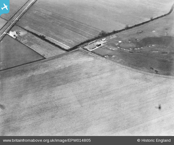
EPW014805 ENGLAND (1926). South Bedfordshire Golf Club, Luton, 1926
© Copyright OpenStreetMap contributors and licensed by the OpenStreetMap Foundation. 2025. Cartography is licensed as CC BY-SA.
Nearby Images (5)
EPW014805

EPW014802

EPW014806

EPW014804

EPW014803

Details
| Title | [EPW014805] South Bedfordshire Golf Club, Luton, 1926 |
| Reference | EPW014805 |
| Date | 24-March-1926 |
| Link | |
| Place name | LUTON |
| Parish | |
| District | |
| Country | ENGLAND |
| Easting / Northing | 508492, 225501 |
| Longitude / Latitude | -0.42236433943159, 51.917018689012 |
| National Grid Reference | TL085255 |
Pins
Be the first to add a comment to this image!