
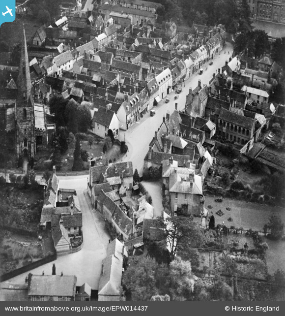
EPW014437 ENGLAND (1925). The High Street, Kimbolton, 1925. This image has been produced from a copy-negative.
© Copyright OpenStreetMap contributors and licensed by the OpenStreetMap Foundation. 2025. Cartography is licensed as CC BY-SA.
Nearby Images (7)
EPW014437

EPW014435

EPW014436

EAW023291

EAW023290

EAW023289

EAW023288

Details
| Title | [EPW014437] The High Street, Kimbolton, 1925. This image has been produced from a copy-negative. |
| Reference | EPW014437 |
| Date | 9-October-1925 |
| Link | |
| Place name | KIMBOLTON |
| Parish | KIMBOLTON |
| District | |
| Country | ENGLAND |
| Easting / Northing | 509894, 267818 |
| Longitude / Latitude | -0.38832826912951, 52.29709091084 |
| National Grid Reference | TL099678 |
Pins
Be the first to add a comment to this image!