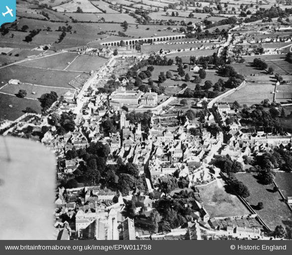
EPW011758 ENGLAND (1924). The town centre, Shepton Mallet, 1924. This image has been produced from a copy-negative.
© Copyright OpenStreetMap contributors and licensed by the OpenStreetMap Foundation. 2025. Cartography is licensed as CC BY-SA.
Details
| Title | [EPW011758] The town centre, Shepton Mallet, 1924. This image has been produced from a copy-negative. |
| Reference | EPW011758 |
| Date | 8-September-1924 |
| Link | |
| Place name | SHEPTON MALLET |
| Parish | SHEPTON MALLET |
| District | |
| Country | ENGLAND |
| Easting / Northing | 362005, 143634 |
| Longitude / Latitude | -2.5437529987823, 51.190145939047 |
| National Grid Reference | ST620436 |
Pins
 MB |
Sunday 28th of August 2016 03:01:18 PM | |
 MB |
Sunday 28th of August 2016 02:59:55 PM | |
 MB |
Sunday 28th of August 2016 02:58:23 PM | |
 MB |
Sunday 28th of August 2016 02:57:14 PM | |
 MB |
Sunday 28th of August 2016 02:56:41 PM | |
 MB |
Sunday 28th of August 2016 02:56:04 PM | |
 John W |
Saturday 13th of August 2016 08:03:48 PM |
User Comment Contributions
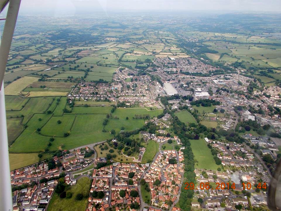
 Shepton Mallet from the east, 29/06/2007 Courtesy Con Shields |
 Class31 |
Wednesday 5th of August 2015 11:13:04 AM |


![[EPW011758] The town centre, Shepton Mallet, 1924. This image has been produced from a copy-negative.](http://britainfromabove.org.uk/sites/all/libraries/aerofilms-images/public/100x100/EPW/011/EPW011758.jpg)
![[EPW009589] The town centre, Shepton Mallet, 1923](http://britainfromabove.org.uk/sites/all/libraries/aerofilms-images/public/100x100/EPW/009/EPW009589.jpg)
![[EPW009588] The town centre, Shepton Mallet, 1923](http://britainfromabove.org.uk/sites/all/libraries/aerofilms-images/public/100x100/EPW/009/EPW009588.jpg)
![[EPW011759] The town, Shepton Mallet, from the north, 1924. This image has been produced from a copy-negative.](http://britainfromabove.org.uk/sites/all/libraries/aerofilms-images/public/100x100/EPW/011/EPW011759.jpg)