
EPW011750 ENGLAND (1924). Cheddar Gorge, Cheddar, 1924. This image has been produced from a copy-negative.

© Copyright OpenStreetMap contributors and licensed by the OpenStreetMap Foundation. 2026. Cartography is licensed as CC BY-SA.
Nearby Images (7)
EPW011750

EAW025160

EPW033371

EAW003596

EAW004866

EAW004865

EAW025163

Details
| Title | [EPW011750] Cheddar Gorge, Cheddar, 1924. This image has been produced from a copy-negative. |
| Reference | EPW011750 |
| Date | 8-September-1924 |
| Link | |
| Place name | CHEDDAR |
| Parish | CHEDDAR |
| District | |
| Country | ENGLAND |
| Easting / Northing | 346793, 154113 |
| Longitude / Latitude | -2.7629939779333, 51.283160199467 |
| National Grid Reference | ST468541 |
Pins
Be the first to add a comment to this image!
User Comment Contributions
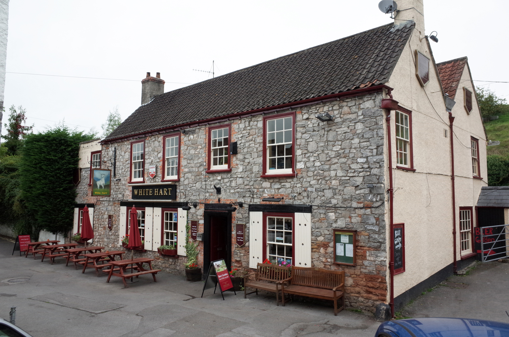
The White Hart PH Cheddar Gorge |

Alan McFaden |
Tuesday 18th of November 2014 04:35:39 PM |
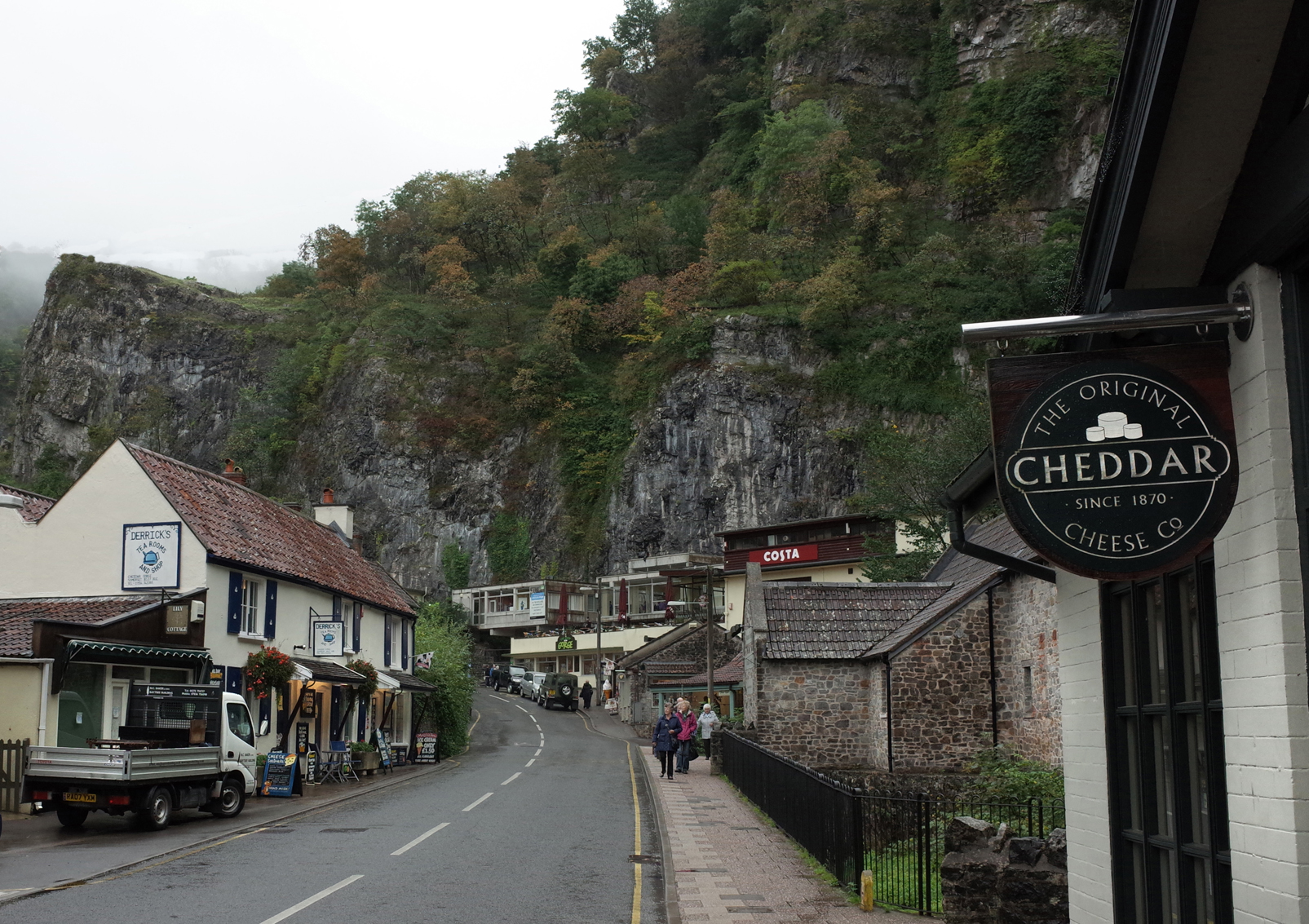
Cheddar Gorge |
Alan McFaden |
Tuesday 18th of November 2014 04:35:04 PM |
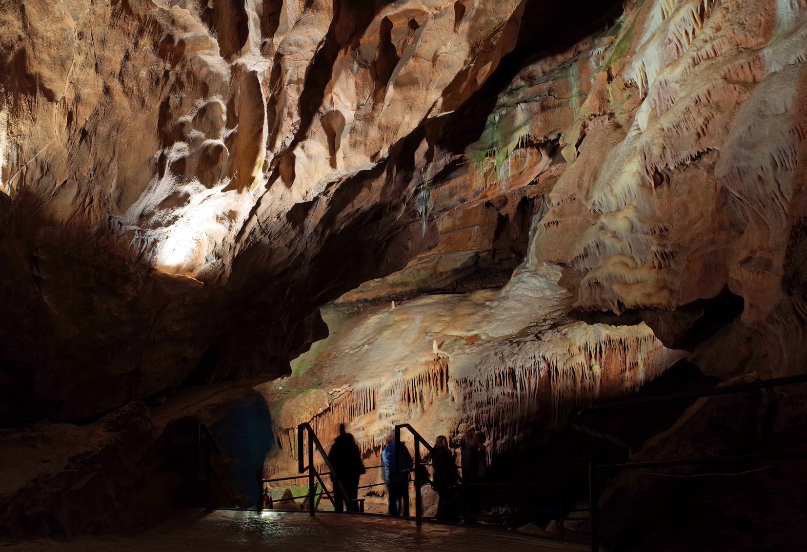
Cheddar Gorge Gough's Cave |
Alan McFaden |
Tuesday 18th of November 2014 04:34:40 PM |
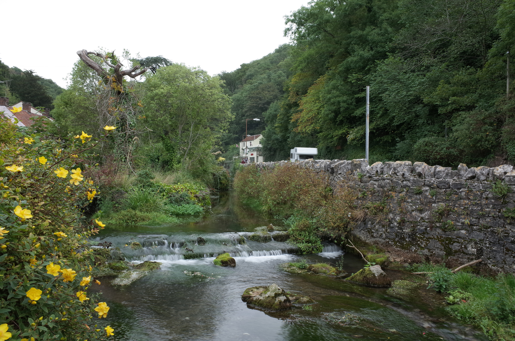
Cheddar Gorge |
Alan McFaden |
Tuesday 18th of November 2014 04:33:45 PM |