
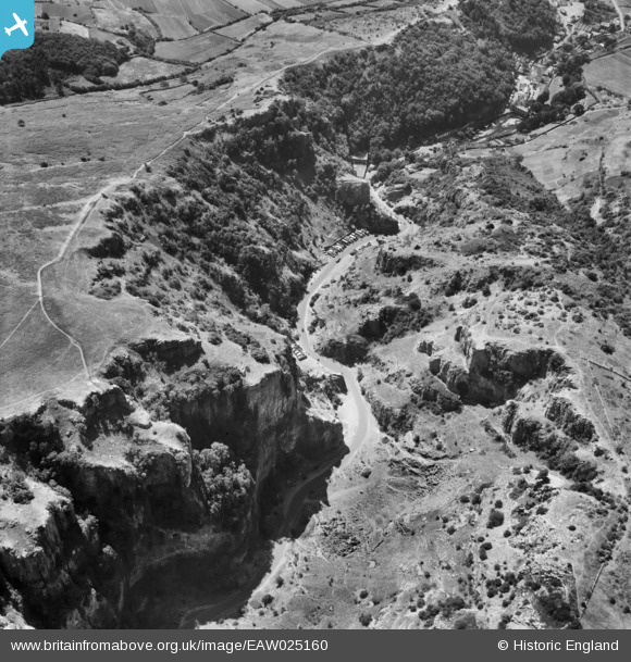
EAW025160 ENGLAND (1949). The western paert of Cheddar Gorge between Gough's Cave and Monkey Rock, Cheddar Gorge, 1949
© Copyright OpenStreetMap contributors and licensed by the OpenStreetMap Foundation. 2026. Cartography is licensed as CC BY-SA.
Nearby Images (7)
EAW025160

EAW003596

EPW011750

EAW004866

EAW004865

EPW033371

EAW025163

Details
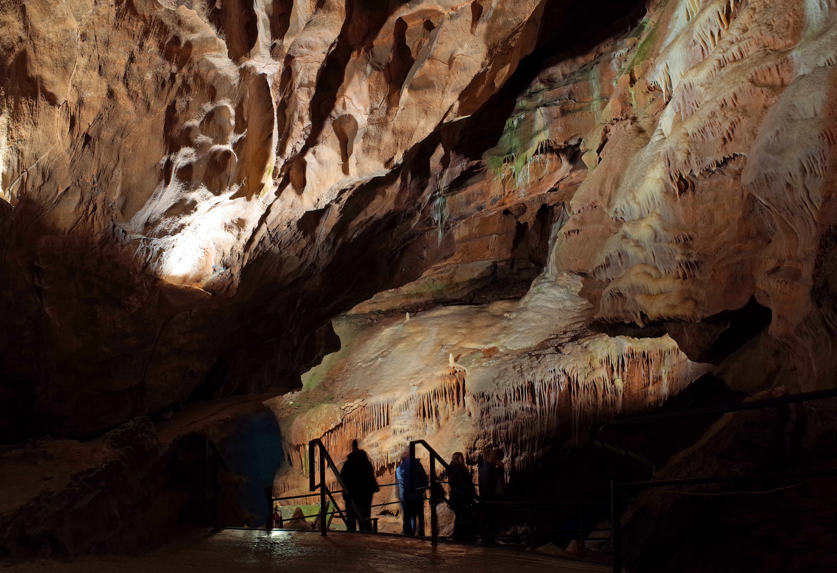
| Title | [EAW025160] The western paert of Cheddar Gorge between Gough's Cave and Monkey Rock, Cheddar Gorge, 1949 |
| Reference | EAW025160 |
| Date | 25-July-1949 |
| Link | |
| Place name | CHEDDAR GORGE |
| Parish | CHEDDAR |
| District | |
| Country | ENGLAND |
| Easting / Northing | 346863, 154075 |
| Longitude / Latitude | -2.7619846116519, 51.282825037991 |
| National Grid Reference | ST469541 |
Pins
Be the first to add a comment to this image!
User Comment Contributions
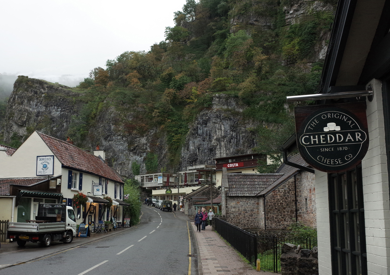
Cheddar Gorge |

Alan McFaden |
Sunday 31st of August 2014 10:13:56 AM |
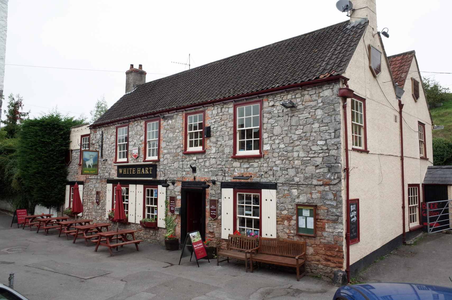
White House PH Cheddar Gorge |
Alan McFaden |
Sunday 31st of August 2014 10:13:36 AM |
Cheddar Gorge |
Alan McFaden |
Sunday 31st of August 2014 10:13:05 AM |
Cheddar Gorge Gough's Cave |
Alan McFaden |
Sunday 31st of August 2014 10:12:44 AM |