
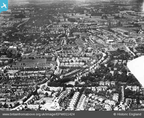
EPW011424 ENGLAND (1924). Manor Lane, Benhill Avenue and environs, Sutton, 1924. This image has been produced from a print.
© Copyright OpenStreetMap contributors and licensed by the OpenStreetMap Foundation. 2026. Cartography is licensed as CC BY-SA.
Nearby Images (14)
EPW011424

EAW022957
 on Lenham Road and the High Street, Sutton, 1949")
EAW022942

EAW022941

EAW022943

EAW022954

EAW022946

EAW022956

EPW050017

EAW022945

EAW022944

EAW022940

EPW057033

EPW057034

Details
| Title | [EPW011424] Manor Lane, Benhill Avenue and environs, Sutton, 1924. This image has been produced from a print. |
| Reference | EPW011424 |
| Date | July-1924 |
| Link | |
| Place name | SUTTON |
| Parish | |
| District | |
| Country | ENGLAND |
| Easting / Northing | 526056, 164511 |
| Longitude / Latitude | -0.18906283273602, 51.365157005032 |
| National Grid Reference | TQ261645 |
Pins

christhewino |
Saturday 26th of February 2022 10:26:42 PM | |
|
christhewino |
Saturday 26th of February 2022 10:25:52 PM |