
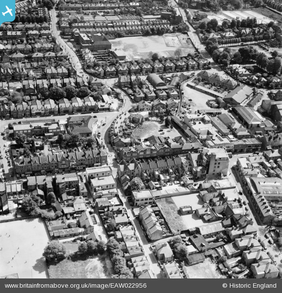
EAW022956 ENGLAND (1949). Manor Lane and the High Street, Sutton, 1949
© Copyright OpenStreetMap contributors and licensed by the OpenStreetMap Foundation. 2026. Cartography is licensed as CC BY-SA.
Nearby Images (17)
EAW022956

EAW022941

EAW022942

EAW022946

EAW022943

EAW022954

EAW022957
 on Lenham Road and the High Street, Sutton, 1949")
EAW022944

EAW022940

EAW022945

EPW050017

EPW057033

EPW028239

EPW001674

EPW028249

EPW028245

EPW011424

Details
| Title | [EAW022956] Manor Lane and the High Street, Sutton, 1949 |
| Reference | EAW022956 |
| Date | 6-May-1949 |
| Link | |
| Place name | SUTTON |
| Parish | |
| District | |
| Country | ENGLAND |
| Easting / Northing | 525885, 164400 |
| Longitude / Latitude | -0.19155743436721, 51.364197245533 |
| National Grid Reference | TQ259644 |
Pins

redmist |
Thursday 14th of October 2021 08:37:53 PM |