
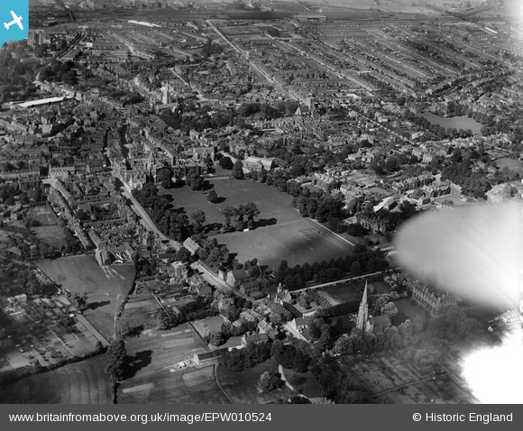
EPW010524 ENGLAND (1924). Rugby School and view over the town, Rugby, 1924
© Copyright OpenStreetMap contributors and licensed by the OpenStreetMap Foundation. 2026. Cartography is licensed as CC BY-SA.
Nearby Images (6)
EPW010524

EAW006309

EAW006310

EPW021013

EPW005577

EPW021018

Details
| Title | [EPW010524] Rugby School and view over the town, Rugby, 1924 |
| Reference | EPW010524 |
| Date | 28-May-1924 |
| Link | |
| Place name | RUGBY |
| Parish | |
| District | |
| Country | ENGLAND |
| Easting / Northing | 450324, 274830 |
| Longitude / Latitude | -1.2607880336952, 52.368822147335 |
| National Grid Reference | SP503748 |


