
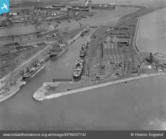
EPW007742 ENGLAND (1922). Ramsden Dock Basin and lock, Barrow-in-Furness, 1922
© Copyright OpenStreetMap contributors and licensed by the OpenStreetMap Foundation. 2026. Cartography is licensed as CC BY-SA.
Nearby Images (5)
EPW007742

EPW007746

EPW007747

EPW004066

EPW007745

Details
| Title | [EPW007742] Ramsden Dock Basin and lock, Barrow-in-Furness, 1922 |
| Reference | EPW007742 |
| Date | April-1922 |
| Link | |
| Place name | BARROW-IN-FURNESS |
| Parish | |
| District | |
| Country | ENGLAND |
| Easting / Northing | 320131, 467230 |
| Longitude / Latitude | -3.2213691541974, 54.094585035166 |
| National Grid Reference | SD201672 |
Pins
Be the first to add a comment to this image!