
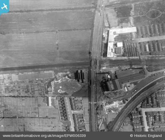
EPW006339 ENGLAND (1921). Sculcoates Junction and the Hull Corporation Electricity Works, Sculcoates, 1921
© Copyright OpenStreetMap contributors and licensed by the OpenStreetMap Foundation. 2026. Cartography is licensed as CC BY-SA.
Nearby Images (23)
EPW006339

EPW006341

EAW030290

EPW006342

EPW006347

EPW006346

EPW042057

EPW042055

EPW036498

EPW042056

EPW006348

EPW042060

EPW042058

EPW042059

EPW006343

EPW006336

EPW006337

EAW031231

EAW031232

EAW031229

EAW031226

EAW031225

EAW031230

Details
| Title | [EPW006339] Sculcoates Junction and the Hull Corporation Electricity Works, Sculcoates, 1921 |
| Reference | EPW006339 |
| Date | May-1921 |
| Link | |
| Place name | SCULCOATES |
| Parish | |
| District | |
| Country | ENGLAND |
| Easting / Northing | 509216, 431055 |
| Longitude / Latitude | -0.3429616803751, 53.764161242859 |
| National Grid Reference | TA092311 |
