
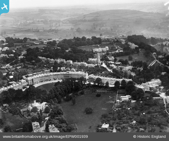
EPW001939 ENGLAND (1920). Lansdown Crescent and St Stephen's Church, Bath, from the south-west, 1920
© Copyright OpenStreetMap contributors and licensed by the OpenStreetMap Foundation. 2026. Cartography is licensed as CC BY-SA.
Nearby Images (5)
EPW001939

EAW000743

EAW000742

EPW001943

EPR000139

Details
| Title | [EPW001939] Lansdown Crescent and St Stephen's Church, Bath, from the south-west, 1920 |
| Reference | EPW001939 |
| Date | July-1920 |
| Link | |
| Place name | LANSDOWN |
| Parish | |
| District | |
| Country | ENGLAND |
| Easting / Northing | 374618, 165869 |
| Longitude / Latitude | -2.3648321503966, 51.390797034228 |
| National Grid Reference | ST746659 |
Pins

cvb |
Wednesday 8th of October 2014 04:22:18 PM | |

Class31 |
Tuesday 20th of November 2012 08:05:56 AM | |
|
Class31 |
Tuesday 20th of November 2012 08:03:39 AM | |
|
Class31 |
Tuesday 20th of November 2012 08:03:00 AM | |
|
Class31 |
Tuesday 20th of November 2012 08:01:55 AM | |
|
Chelsea61 |
Sunday 29th of July 2012 10:31:08 AM | |
|
kent |
Thursday 26th of July 2012 10:10:37 AM | |
|
Class31 |
Tuesday 10th of July 2012 11:25:49 AM | |
|
Class31 |
Tuesday 10th of July 2012 11:24:16 AM | |
|
Class31 |
Tuesday 10th of July 2012 11:23:47 AM |
User Comment Contributions
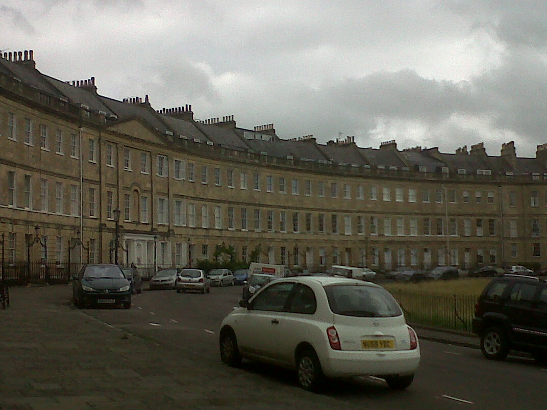
Lansdown Crescent |
Class31 |
Wednesday 31st of July 2013 10:58:45 PM |