
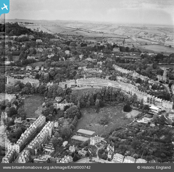
EAW000742 ENGLAND (1946). Lansdown Crescent and environs, Lansdown, from the south, 1946
© Copyright OpenStreetMap contributors and licensed by the OpenStreetMap Foundation. 2026. Cartography is licensed as CC BY-SA.
Nearby Images (5)
EAW000742

EAW000743

EPW001943

EPR000139

EPW001939

Details
| Title | [EAW000742] Lansdown Crescent and environs, Lansdown, from the south, 1946 |
| Reference | EAW000742 |
| Date | 9-May-1946 |
| Link | |
| Place name | LANSDOWN |
| Parish | |
| District | |
| Country | ENGLAND |
| Easting / Northing | 374594, 165963 |
| Longitude / Latitude | -2.3651838398946, 51.391641254043 |
| National Grid Reference | ST746660 |
Pins

Graham Honey |
Saturday 6th of July 2024 03:22:22 PM |