
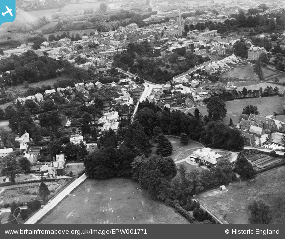
EPW001771 ENGLAND (1920). Bell's Hill, Bishop's Stortford, 1920
© Copyright OpenStreetMap contributors and licensed by the OpenStreetMap Foundation. 2026. Cartography is licensed as CC BY-SA.
Nearby Images (8)
EPW001771

EAW022392

EAW022390

EPW001979

EAW022391

EAW022393

EAW022394

EAW022395

Details
| Title | [EPW001771] Bell's Hill, Bishop's Stortford, 1920 |
| Reference | EPW001771 |
| Date | June-1920 |
| Link | |
| Place name | BISHOP'S STORTFORD |
| Parish | BISHOP'S STORTFORD |
| District | |
| Country | ENGLAND |
| Easting / Northing | 548200, 221509 |
| Longitude / Latitude | 0.15295178450119, 51.871996859832 |
| National Grid Reference | TL482215 |
Pins
Be the first to add a comment to this image!