
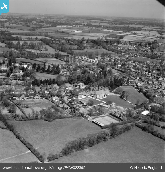
EAW022395 ENGLAND (1949). Bishop's Stortford College and environs, Bishop's Stortford, from the south, 1949
© Copyright OpenStreetMap contributors and licensed by the OpenStreetMap Foundation. 2026. Cartography is licensed as CC BY-SA.
Nearby Images (7)
EAW022395

EAW022394

EAW022393

EAW022391

EAW022390

EAW022392

EPW001771

Details
| Title | [EAW022395] Bishop's Stortford College and environs, Bishop's Stortford, from the south, 1949 |
| Reference | EAW022395 |
| Date | 20-April-1949 |
| Link | |
| Place name | BISHOP'S STORTFORD |
| Parish | BISHOP'S STORTFORD |
| District | |
| Country | ENGLAND |
| Easting / Northing | 548024, 221260 |
| Longitude / Latitude | 0.1502901602015, 51.869806185668 |
| National Grid Reference | TL480213 |
Pins
Be the first to add a comment to this image!