
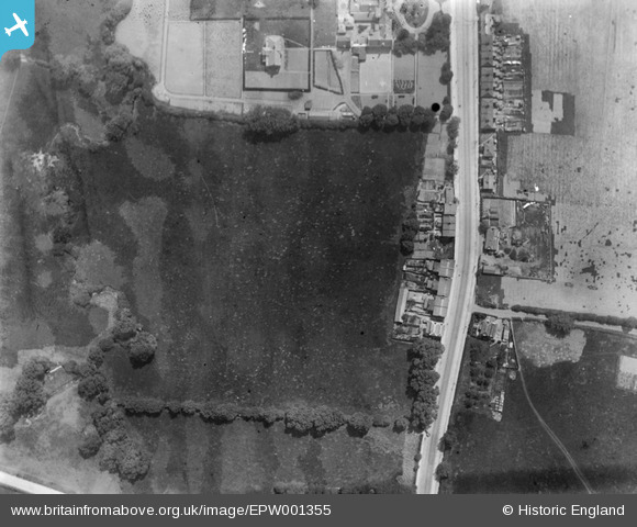
EPW001355 ENGLAND (1920). The High Road, Burnt Oak, 1920
© Copyright OpenStreetMap contributors and licensed by the OpenStreetMap Foundation. 2026. Cartography is licensed as CC BY-SA.
Nearby Images (27)
EPW001355

EAW028467

EPW020054

EPW020056

EPW015981

EAW028466

EAW028464

EPW016826

EAW028459

EPW016825

EPW020061

EPW020055

EAW028461

EAW028465

EPW001354

EPW020058

EAW028460

EAW028463

EPW020060

EPW020059

EPW016827

EPW020057

EPW020062

EAW028462

EPW009356

EPW015339

EPW001352

Details
| Title | [EPW001355] The High Road, Burnt Oak, 1920 |
| Reference | EPW001355 |
| Date | May-1920 |
| Link | |
| Place name | BURNT OAK |
| Parish | |
| District | |
| Country | ENGLAND |
| Easting / Northing | 519718, 191116 |
| Longitude / Latitude | -0.27104706054826, 51.605666394596 |
| National Grid Reference | TQ197911 |
Pins

Liamcartaya |
Friday 8th of December 2023 04:45:39 PM |