
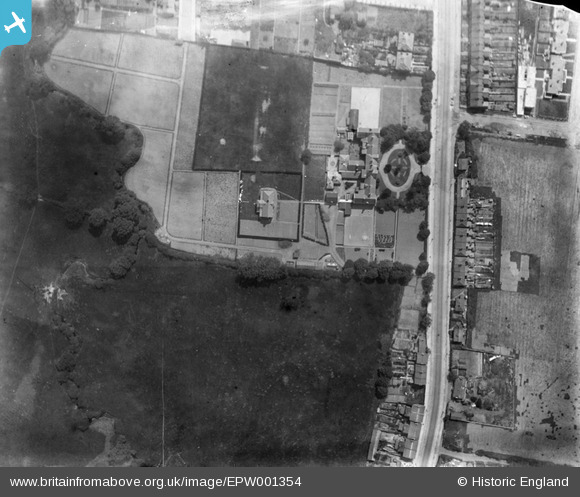
EPW001354 ENGLAND (1920). The Union Schools, Burnt Oak, 1920
© Copyright OpenStreetMap contributors and licensed by the OpenStreetMap Foundation. 2026. Cartography is licensed as CC BY-SA.
Nearby Images (26)
EPW001354

EPW020058

EPW020055

EPW020060

EPW020059

EPW020056

EPW020062

EPW020054

EPW020057

EPW020061

EAW028467

EPW015981

EAW028461

EPW001355

EAW028463

EAW028459

EAW028466

EPW015339

EAW028464

EPW016825

EPW016826

EAW028460

EAW028465

EPW001352

EAW028462

EPW016827

Details
| Title | [EPW001354] The Union Schools, Burnt Oak, 1920 |
| Reference | EPW001354 |
| Date | May-1920 |
| Link | |
| Place name | BURNT OAK |
| Parish | |
| District | |
| Country | ENGLAND |
| Easting / Northing | 519787, 191033 |
| Longitude / Latitude | -0.27007941955759, 51.604905693957 |
| National Grid Reference | TQ198910 |
Pins

colsouth111 |
Friday 21st of November 2014 03:00:20 PM | |
|
colsouth111 |
Friday 21st of November 2014 02:59:33 PM | |
|
colsouth111 |
Friday 21st of November 2014 02:52:02 PM |