
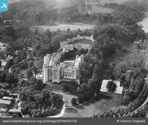
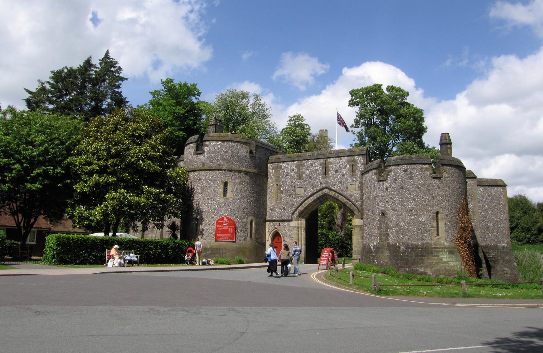
EPW000726 ENGLAND (1920). The castle, Arundel, 1920. This image has been produced from a copy negative.
© Copyright OpenStreetMap contributors and licensed by the OpenStreetMap Foundation. 2025. Cartography is licensed as CC BY-SA.
Nearby Images (13)
EPW000726

EAW021571

EAW050661

EPW018264

EPW000686

EAW021569

EAW021570

EAW050663

EAW050664

EPW000685

EAW050662

EPW000684

EAW021573

Details
| Title | [EPW000726] The castle, Arundel, 1920. This image has been produced from a copy negative. |
| Reference | EPW000726 |
| Date | April-1920 |
| Link | |
| Place name | ARUNDEL |
| Parish | ARUNDEL |
| District | |
| Country | ENGLAND |
| Easting / Northing | 501863, 107345 |
| Longitude / Latitude | -0.55263414213014, 50.856079035099 |
| National Grid Reference | TQ019073 |
Pins
Be the first to add a comment to this image!
User Comment Contributions
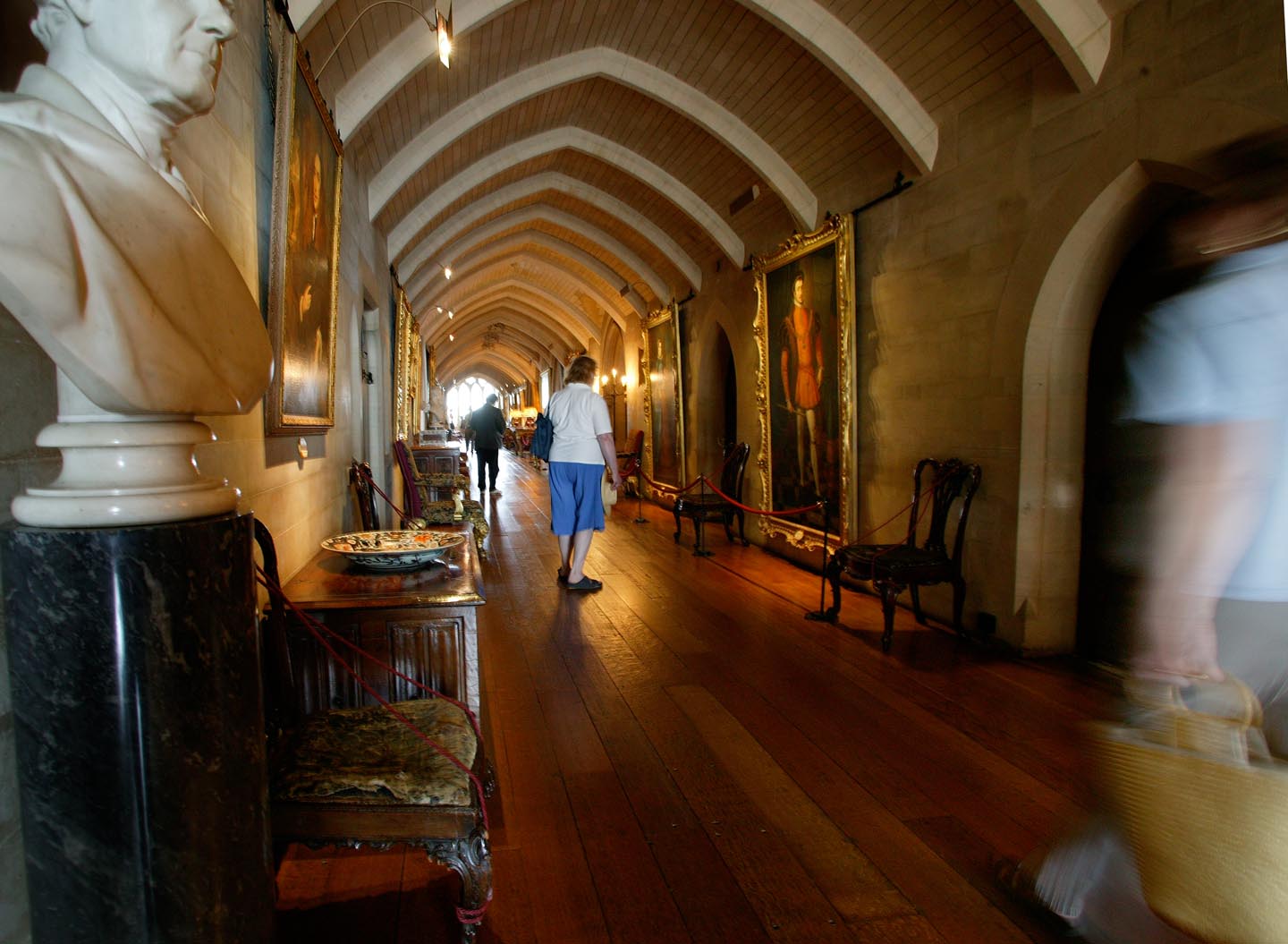
Arundel Castle Interior |

Alan McFaden |
Wednesday 8th of October 2014 09:29:11 AM |

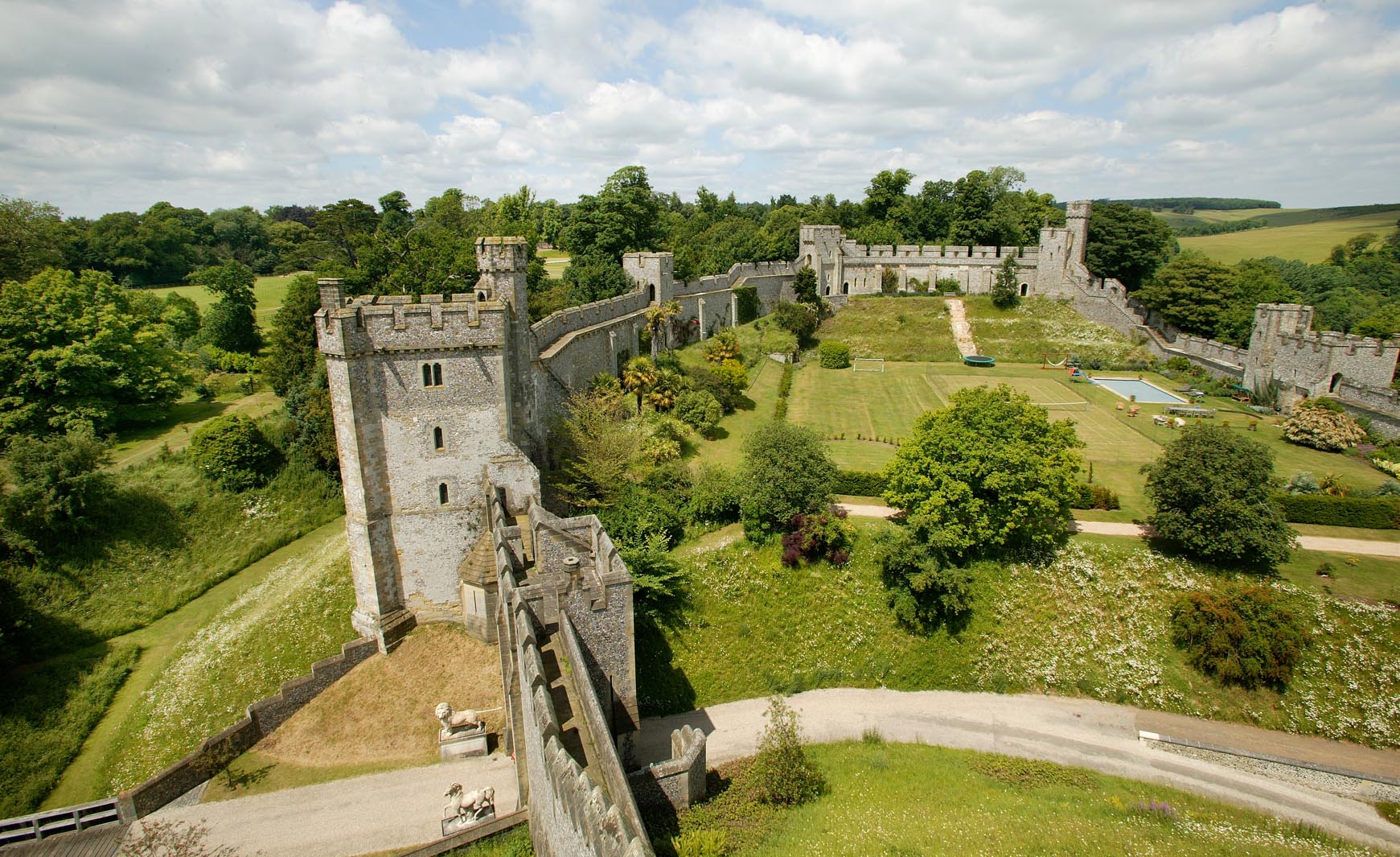
View from the Castle |
Alan McFaden |
Wednesday 8th of October 2014 09:28:45 AM |
Arundel Castle Grounds |
Alan McFaden |
Wednesday 8th of October 2014 09:28:23 AM |

View from the Castle |
Alan McFaden |
Wednesday 8th of October 2014 09:27:57 AM |
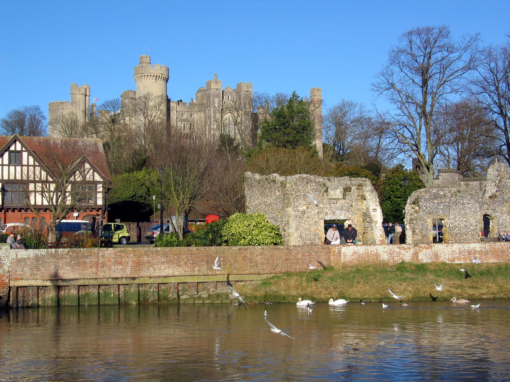
Arundel Castle |
Alan McFaden |
Wednesday 8th of October 2014 09:27:35 AM |
Arundel Castle Gates |
Alan McFaden |
Wednesday 8th of October 2014 09:27:15 AM |
Arundel Castle |
Alan McFaden |
Wednesday 8th of October 2014 09:26:50 AM |