
EAW021571 ENGLAND (1949). Arundel Castle, Arundel, 1949. This image has been produced from a print.

© Copyright OpenStreetMap contributors and licensed by the OpenStreetMap Foundation. 2025. Cartography is licensed as CC BY-SA.
Nearby Images (13)
EAW021571

EAW050661

EPW000726

EPW018264

EPW000686

EAW021570

EAW021569

EAW050663

EAW050664

EPW000684

EPW000685

EAW050662

EAW021573

Details
| Title | [EAW021571] Arundel Castle, Arundel, 1949. This image has been produced from a print. |
| Reference | EAW021571 |
| Date | 21-March-1949 |
| Link | |
| Place name | ARUNDEL |
| Parish | ARUNDEL |
| District | |
| Country | ENGLAND |
| Easting / Northing | 501882, 107351 |
| Longitude / Latitude | -0.55236259384107, 50.85612963113 |
| National Grid Reference | TQ019074 |
Pins

Alan McFaden |
Monday 8th of September 2014 11:00:08 AM | |
|
Alan McFaden |
Monday 8th of September 2014 09:46:18 AM |


User Comment Contributions
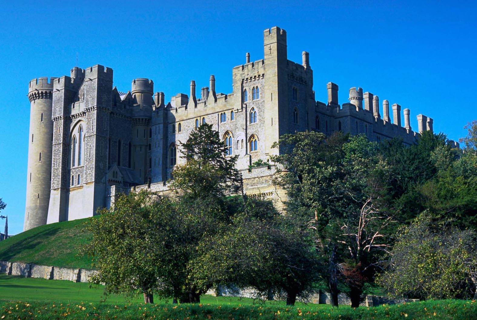
Arundel Castle |
Alan McFaden |
Monday 8th of September 2014 09:47:36 AM |
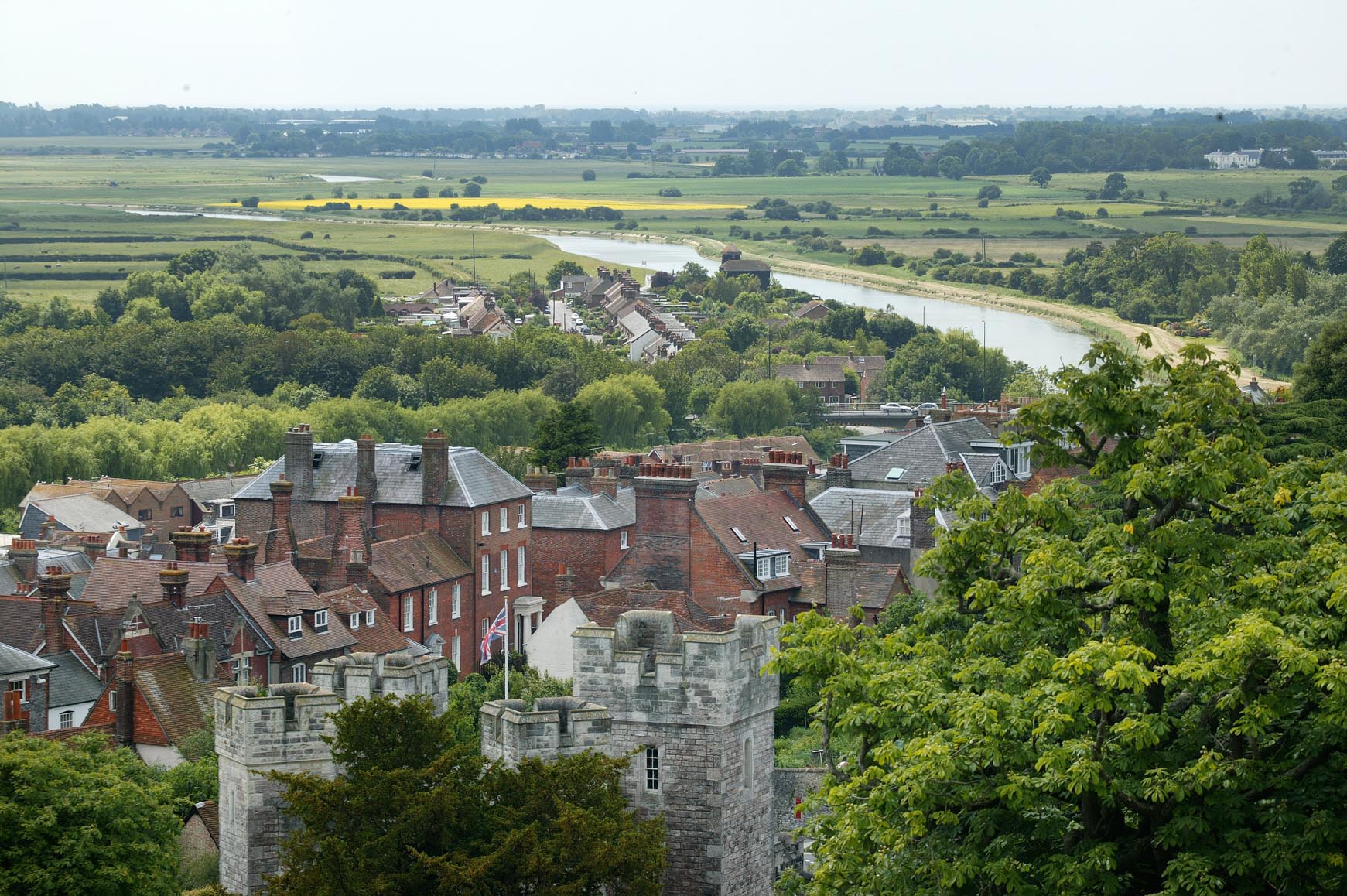
View from the Castle |
Alan McFaden |
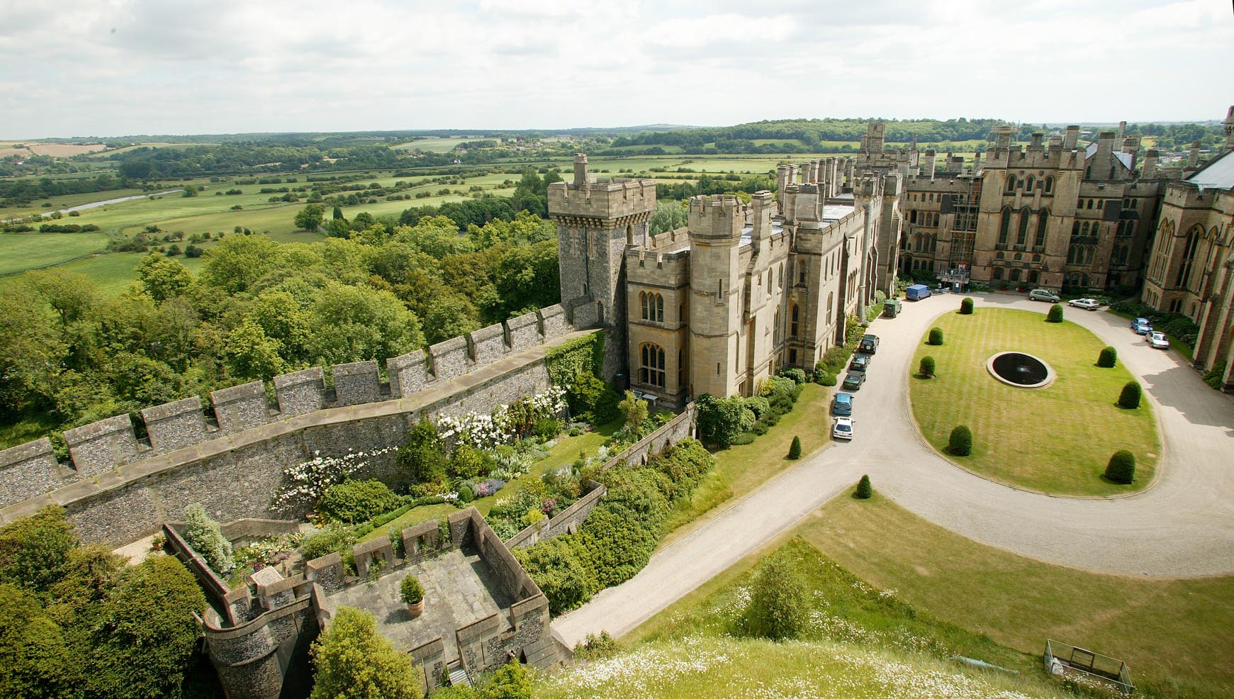
Monday 8th of September 2014 09:47:12 AM |
View from the Castle |
Alan McFaden |
Monday 8th of September 2014 09:46:48 AM |