
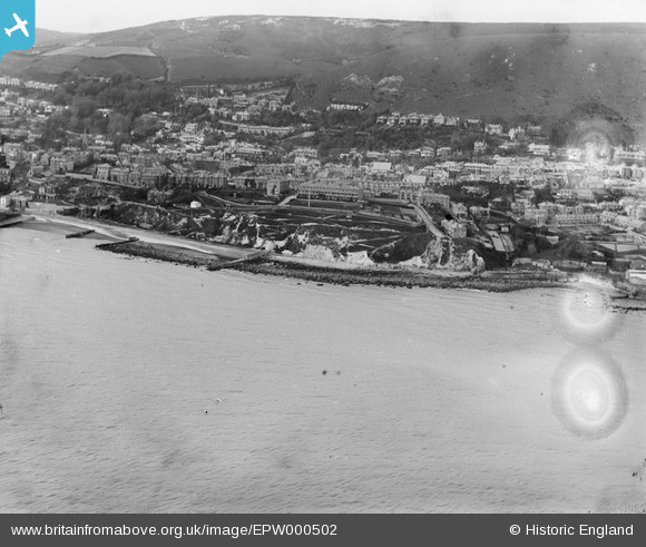
EPW000502 ENGLAND (1920). Ventnor, Isle of Wight, from the south-east, 1920
© Copyright OpenStreetMap contributors and licensed by the OpenStreetMap Foundation. 2026. Cartography is licensed as CC BY-SA.
Nearby Images (4)
EPW000502

EPW032287

EPW000505

EAW038593

Details
| Title | [EPW000502] Ventnor, Isle of Wight, from the south-east, 1920 |
| Reference | EPW000502 |
| Date | April-1920 |
| Link | |
| Place name | VENTNOR |
| Parish | VENTNOR |
| District | |
| Country | ENGLAND |
| Easting / Northing | 456645, 77259 |
| Longitude / Latitude | -1.1996625380704, 50.591720349304 |
| National Grid Reference | SZ566773 |
Pins
Be the first to add a comment to this image!