
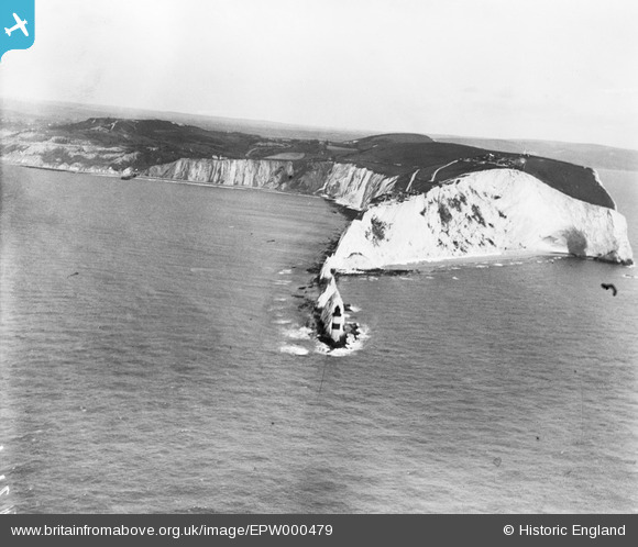
EPW000479 ENGLAND (1920). The Needles, Isle of Wight, from the west, 1920
© Copyright OpenStreetMap contributors and licensed by the OpenStreetMap Foundation. 2026. Cartography is licensed as CC BY-SA.
Nearby Images (19)
EPW000479

EAW015260

EAW022204

EAW022201

EPW022901

EPW022902

EPW000793

EPW022899

EPW022903

EPW000795

EAW022202

EAW038606

EAW015259

EAW022203

EPW000478

EAW015258

EAW038604

EAW038605

EAW038608

Details
| Title | [EPW000479] The Needles, Isle of Wight, from the west, 1920 |
| Reference | EPW000479 |
| Date | April-1920 |
| Link | |
| Place name | THE NEEDLES |
| Parish | TOTLAND |
| District | |
| Country | ENGLAND |
| Easting / Northing | 428944, 84810 |
| Longitude / Latitude | -1.5904448384602, 50.661662633217 |
| National Grid Reference | SZ289848 |


