
EPW000394 ENGLAND (1920). Canterbury, Kent, from the south-west, 1920

© Copyright OpenStreetMap contributors and licensed by the OpenStreetMap Foundation. 2026. Cartography is licensed as CC BY-SA.
Nearby Images (4)
EPW000394

EAW011398

EPW013269

EAW004805

Details
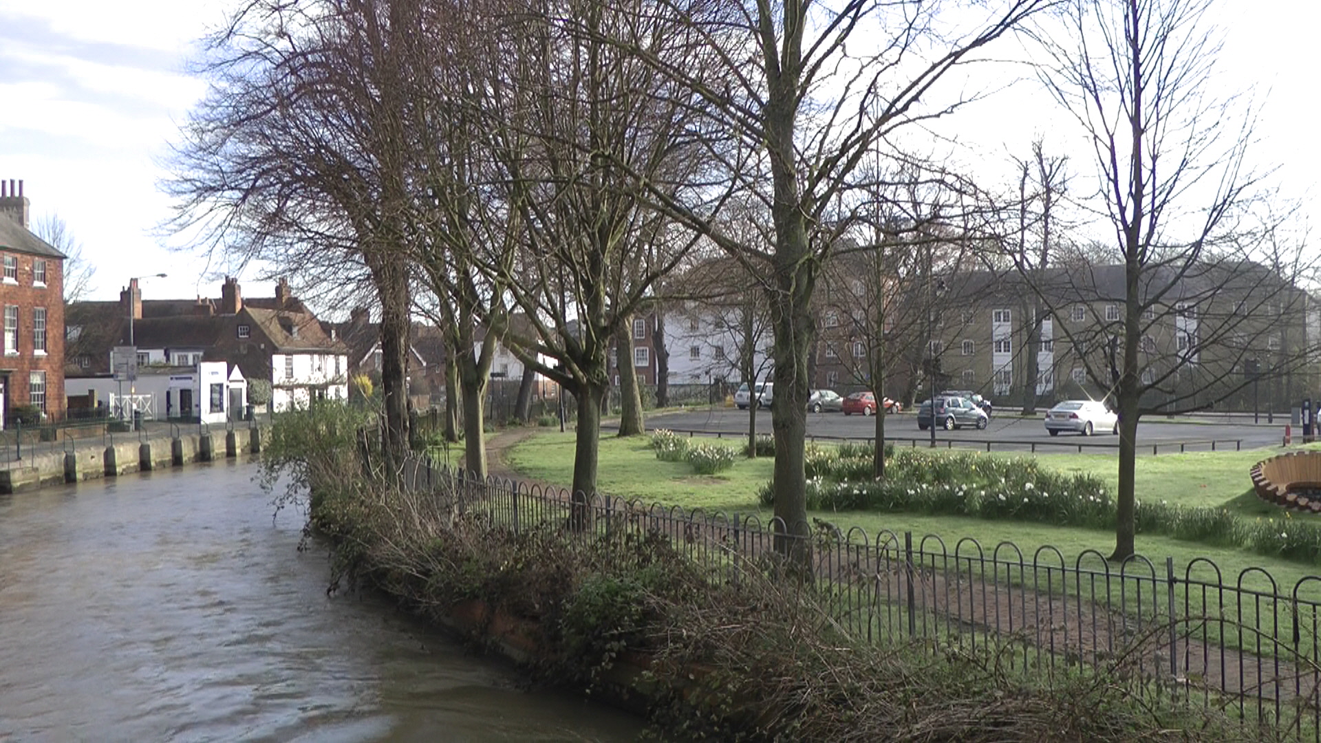
| Title | [EPW000394] Canterbury, Kent, from the south-west, 1920 |
| Reference | EPW000394 |
| Date | April-1920 |
| Link | |
| Place name | CANTERBURY |
| Parish | |
| District | |
| Country | ENGLAND |
| Easting / Northing | 614599, 157459 |
| Longitude / Latitude | 1.0771472468253, 51.275288651222 |
| National Grid Reference | TR146575 |
Pins

Stewart Lawrie |
Sunday 25th of June 2023 05:25:12 PM | |
|
Marian |
Sunday 8th of May 2016 03:20:22 PM | |
|
hnritchie |
Thursday 28th of August 2014 10:43:47 AM | |
|
hnritchie |
Thursday 28th of August 2014 10:42:25 AM | |

Alan McFaden |
Thursday 10th of July 2014 12:59:20 PM | |
|
rorykehoe |
Monday 6th of August 2012 06:00:54 PM | |
|
EZTD |
Friday 29th of June 2012 09:46:49 PM | |
|
EZTD |
Friday 29th of June 2012 09:46:12 PM | |
|
EZTD |
Friday 29th of June 2012 09:45:37 PM |

User Comment Contributions
Canterbury The Causeway Deans Mill |
Marian |
Sunday 8th of May 2016 03:52:02 PM |