
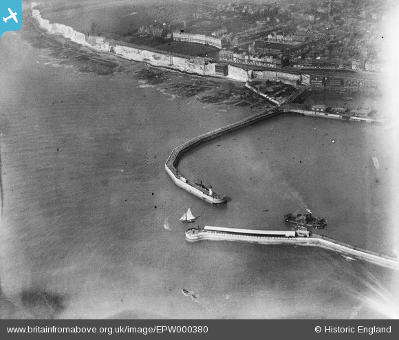
EPW000380 ENGLAND (1920). Ramsgate Harbour, Kent, 1920
© Copyright OpenStreetMap contributors and licensed by the OpenStreetMap Foundation. 2026. Cartography is licensed as CC BY-SA.
Nearby Images (19)
EPW000380

EPW000375

EPW000595

EPW042862

EAW020488

EAW008997

EAW020487

EAW009010

EAW696658

EPW039354

EAW009008

EAW006626

EAW008998

EAW009007

EAW009009

EPW000598

EAW008999

EPW000091

EAW009006

Details
| Title | [EPW000380] Ramsgate Harbour, Kent, 1920 |
| Reference | EPW000380 |
| Date | April-1920 |
| Link | |
| Place name | RAMSGATE |
| Parish | RAMSGATE |
| District | |
| Country | ENGLAND |
| Easting / Northing | 638322, 164319 |
| Longitude / Latitude | 1.4212756987186, 51.327443170923 |
| National Grid Reference | TR383643 |
