
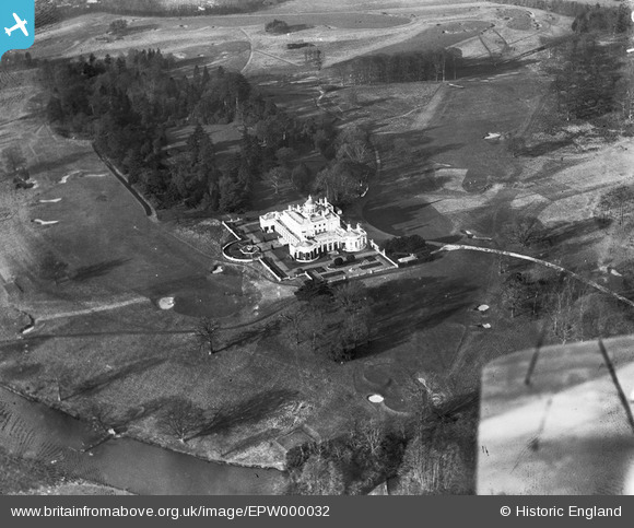
EPW000032 ENGLAND (1920). Stoke Poges Golf Clubhouse, Stoke Poges, 1920
© Copyright OpenStreetMap contributors and licensed by the OpenStreetMap Foundation. 2026. Cartography is licensed as CC BY-SA.
Nearby Images (12)
EPW000032

EPW000033

EPW034746

EPW034744

EPW015611

EPW034745

EPW015612

EPW034735

EPW034737

EPW034738

EPW034736

EPW034740

Details
| Title | [EPW000032] Stoke Poges Golf Clubhouse, Stoke Poges, 1920 |
| Reference | EPW000032 |
| Date | 8-January-1920 |
| Link | |
| Place name | STOKE POGES |
| Parish | STOKE POGES |
| District | |
| Country | ENGLAND |
| Easting / Northing | 497033, 182642 |
| Longitude / Latitude | -0.60088425019928, 51.533854783873 |
| National Grid Reference | SU970826 |
Pins
Be the first to add a comment to this image!