
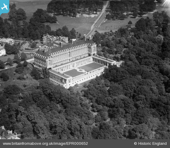
EPR000652 ENGLAND (1935). The Royal Star and Garter Home, Richmond Hill, 1935
© Copyright OpenStreetMap contributors and licensed by the OpenStreetMap Foundation. 2026. Cartography is licensed as CC BY-SA.
Nearby Images (13)
EPR000652

EAW006963

EPW022834

EAW006964

EPW010984

EAW006962

EPW022833

EAW006965

EPW001697

EAW006954

EAW006951

EAW006961

EAW006953

Details
| Title | [EPR000652] The Royal Star and Garter Home, Richmond Hill, 1935 |
| Reference | EPR000652 |
| Date | 22-June-1935 |
| Link | |
| Place name | RICHMOND HILL |
| Parish | |
| District | |
| Country | ENGLAND |
| Easting / Northing | 518403, 173721 |
| Longitude / Latitude | -0.29587770567164, 51.449590055475 |
| National Grid Reference | TQ184737 |
Pins
Be the first to add a comment to this image!