
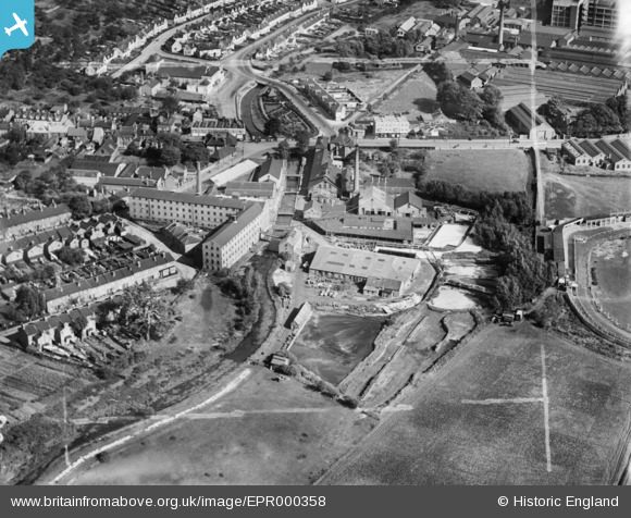
EPR000358 ENGLAND (1934). Works along the River Cray near Crayford Bridge, Crayford, 1934. This image was marked by Aero Pictorial Ltd for photo editing.
© Copyright OpenStreetMap contributors and licensed by the OpenStreetMap Foundation. 2026. Cartography is licensed as CC BY-SA.
Nearby Images (12)
EPR000358

EPR000357

EPR000355

EPW028340

EPR000356

EPR000354

EAW048622

EAW048608

EPW057056

EAW048623

EAW048621

EAW048605

Details
| Title | [EPR000358] Works along the River Cray near Crayford Bridge, Crayford, 1934. This image was marked by Aero Pictorial Ltd for photo editing. |
| Reference | EPR000358 |
| Date | 25-September-1934 |
| Link | |
| Place name | CRAYFORD |
| Parish | |
| District | |
| Country | ENGLAND |
| Easting / Northing | 551373, 174684 |
| Longitude / Latitude | 0.17872844545088, 51.450389632187 |
| National Grid Reference | TQ514747 |
Pins
Be the first to add a comment to this image!