
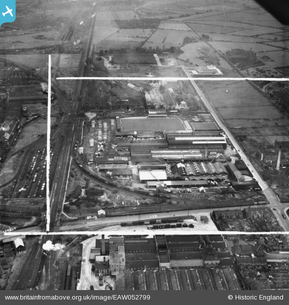
EAW052799 ENGLAND (1953). The Sharp Brothers and Knight Ltd Joinery Works and environs, Shobnall, 1953. This image was marked by Aerofilms Ltd for photo editing.
© Copyright OpenStreetMap contributors and licensed by the OpenStreetMap Foundation. 2026. Cartography is licensed as CC BY-SA.
Nearby Images (48)
EAW052799

EAW052798

EPW047939

EAW028599

EAW052800

EPW047936

EAW052803

EPW047938

EPW047937

EPW047941

EAW052805

EPW047935

EAW052802

EPW047940

EAW051789

EPW047950

EAW028595

EPW047949

EAW028593

EPW042721

EPW061071

EPW042723

EAW051785

EPW061070

EAW051786

EPW042722

EPW061073

EPW047945

EPW020794A

EAW052801

EPW020794

EPW061075

EPW047944

EPW061072

EPW020797

EAW052804

EPW020796A

EPW042720

EPW061076

EPW061074

EAW051790

EAW051791

EAW000373

EAW000372

EAW000377

EAW000375

EAW000376

EAW000371

Details
| Title | [EAW052799] The Sharp Brothers and Knight Ltd Joinery Works and environs, Shobnall, 1953. This image was marked by Aerofilms Ltd for photo editing. |
| Reference | EAW052799 |
| Date | 15-October-1953 |
| Link | |
| Place name | SHOBNALL |
| Parish | SHOBNALL |
| District | |
| Country | ENGLAND |
| Easting / Northing | 423783, 322854 |
| Longitude / Latitude | -1.6471876972103, 52.802385722036 |
| National Grid Reference | SK238229 |
Pins
Be the first to add a comment to this image!