
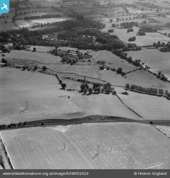
EAW051619 ENGLAND (1953). Part of the site of Venta Icenorum Roman Town, Caistor St Edmund, 1953
© Copyright OpenStreetMap contributors and licensed by the OpenStreetMap Foundation. 2025. Cartography is licensed as CC BY-SA.
Nearby Images (4)
EAW051619

EAW051620

EAW051618

EAW051621

Details
| Title | [EAW051619] Part of the site of Venta Icenorum Roman Town, Caistor St Edmund, 1953 |
| Reference | EAW051619 |
| Date | 26-August-1953 |
| Link | |
| Place name | CAISTOR ST EDMUND |
| Parish | CAISTOR ST. EDMUND |
| District | |
| Country | ENGLAND |
| Easting / Northing | 622987, 303946 |
| Longitude / Latitude | 1.2921708874475, 52.587144106748 |
| National Grid Reference | TG230039 |
Pins
Be the first to add a comment to this image!