
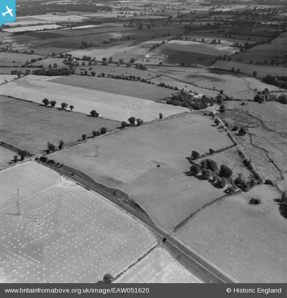
EAW051620 ENGLAND (1953). Markshall Farm and the surrounding countryside, Caistor St Edmund, 1953
© Copyright OpenStreetMap contributors and licensed by the OpenStreetMap Foundation. 2025. Cartography is licensed as CC BY-SA.
Nearby Images (2)
EAW051620

EAW051619

Details
| Title | [EAW051620] Markshall Farm and the surrounding countryside, Caistor St Edmund, 1953 |
| Reference | EAW051620 |
| Date | 26-August-1953 |
| Link | |
| Place name | CAISTOR ST EDMUND |
| Parish | CAISTOR ST. EDMUND |
| District | |
| Country | ENGLAND |
| Easting / Northing | 623002, 304161 |
| Longitude / Latitude | 1.2925367351978, 52.589067792612 |
| National Grid Reference | TG230042 |
Pins
Be the first to add a comment to this image!