
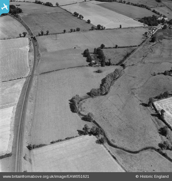
EAW051621 ENGLAND (1953). Anglo-Saxon Burial Ground to the west of the village, Caistor St Edmund, 1953
© Copyright OpenStreetMap contributors and licensed by the OpenStreetMap Foundation. 2025. Cartography is licensed as CC BY-SA.
Nearby Images (2)
EAW051621

EAW051619

Details
| Title | [EAW051621] Anglo-Saxon Burial Ground to the west of the village, Caistor St Edmund, 1953 |
| Reference | EAW051621 |
| Date | 26-August-1953 |
| Link | |
| Place name | CAISTOR ST EDMUND |
| Parish | CAISTOR ST. EDMUND |
| District | |
| Country | ENGLAND |
| Easting / Northing | 622786, 303813 |
| Longitude / Latitude | 1.2891191816723, 52.586032689971 |
| National Grid Reference | TG228038 |
Pins
Be the first to add a comment to this image!