
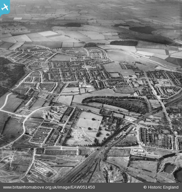
EAW051450 ENGLAND (1953). Playing fields at Corby House and surrounding housing development, Corby, 1953
© Copyright OpenStreetMap contributors and licensed by the OpenStreetMap Foundation. 2026. Cartography is licensed as CC BY-SA.
Nearby Images (3)
EAW051450

EAW045573

EAW051444

Details
| Title | [EAW051450] Playing fields at Corby House and surrounding housing development, Corby, 1953 |
| Reference | EAW051450 |
| Date | 12-August-1953 |
| Link | |
| Place name | CORBY |
| Parish | |
| District | |
| Country | ENGLAND |
| Easting / Northing | 488677, 289226 |
| Longitude / Latitude | -0.69372214144088, 52.493358859946 |
| National Grid Reference | SP887892 |
Pins
Be the first to add a comment to this image!