
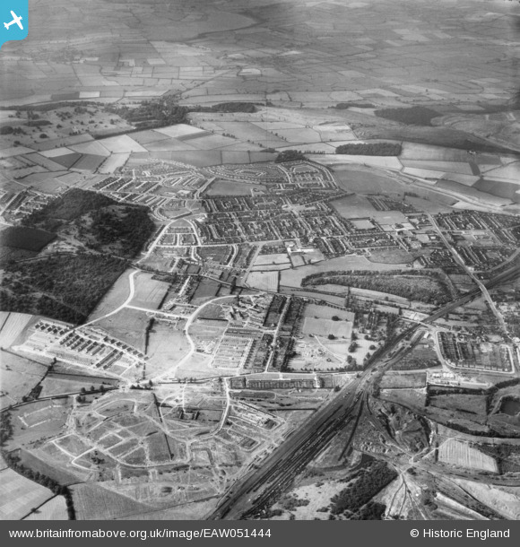
EAW051444 ENGLAND (1953). Housing development around Hazel and Thoroughsale Woods and Occupation Road, Corby, 1953
© Copyright OpenStreetMap contributors and licensed by the OpenStreetMap Foundation. 2026. Cartography is licensed as CC BY-SA.
Nearby Images (4)
EAW051444

EAW051449

EAW045573

EAW051450

Details
| Title | [EAW051444] Housing development around Hazel and Thoroughsale Woods and Occupation Road, Corby, 1953 |
| Reference | EAW051444 |
| Date | 12-August-1953 |
| Link | |
| Place name | CORBY |
| Parish | |
| District | |
| Country | ENGLAND |
| Easting / Northing | 488435, 289186 |
| Longitude / Latitude | -0.69729660428414, 52.493038608148 |
| National Grid Reference | SP884892 |
Pins
Be the first to add a comment to this image!