
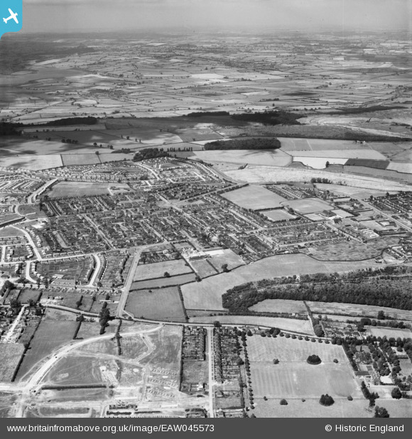
EAW045573 ENGLAND (1952). The town, Corby, from the south, 1952
© Copyright OpenStreetMap contributors and licensed by the OpenStreetMap Foundation. 2026. Cartography is licensed as CC BY-SA.
Nearby Images (3)
EAW045573

EAW051450

EAW051444

Details
| Title | [EAW045573] The town, Corby, from the south, 1952 |
| Reference | EAW045573 |
| Date | 19-July-1952 |
| Link | |
| Place name | CORBY |
| Parish | |
| District | |
| Country | ENGLAND |
| Easting / Northing | 488617, 289112 |
| Longitude / Latitude | -0.6946360835206, 52.492343906042 |
| National Grid Reference | SP886891 |
Pins
Be the first to add a comment to this image!