
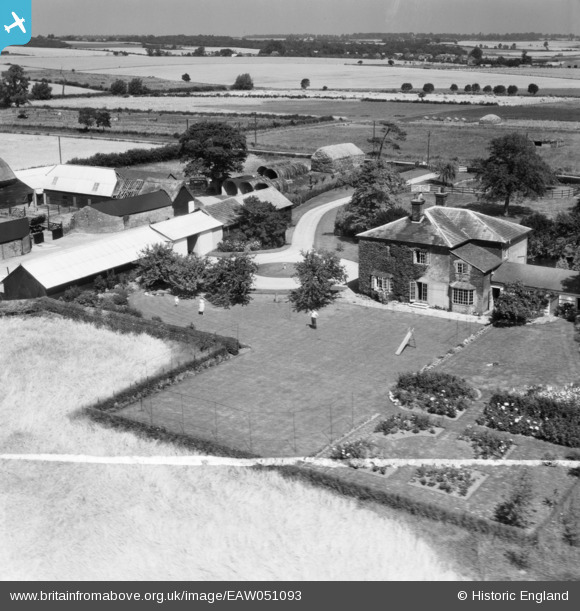
EAW051093 ENGLAND (1953). Randswood Farm, West Wratting, 1953. This image was marked by Aerofilms Ltd for photo editing.
© Copyright OpenStreetMap contributors and licensed by the OpenStreetMap Foundation. 2026. Cartography is licensed as CC BY-SA.
Nearby Images (9)
EAW051093

EAW051096

EAW051095

EAW051092

EAW051094

EAW051091

EAW051090

EAW051088

EAW051087

Details
| Title | [EAW051093] Randswood Farm, West Wratting, 1953. This image was marked by Aerofilms Ltd for photo editing. |
| Reference | EAW051093 |
| Date | 10-August-1953 |
| Link | |
| Place name | WEST WRATTING |
| Parish | WEST WRATTING |
| District | |
| Country | ENGLAND |
| Easting / Northing | 562587, 250842 |
| Longitude / Latitude | 0.37569062460521, 52.131517793311 |
| National Grid Reference | TL626508 |
Pins

Matt Aldred edob.mattaldred.com |
Tuesday 4th of October 2022 05:30:26 PM |
User Comment Contributions

Lets stand and stare, we can help with the harvest tomorrow. |

clippedwings |
Wednesday 5th of August 2015 08:51:17 PM |