
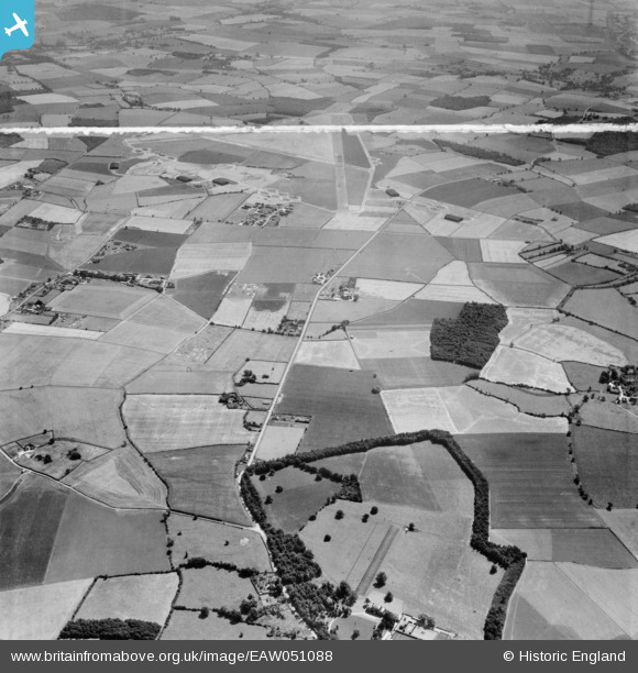
EAW051088 ENGLAND (1953). West Wratting Park, Randswood Farm and RAF Wratting Common Airfield, West Wratting, 1953. This image was marked by Aerofilms Ltd for photo editing.
© Copyright OpenStreetMap contributors and licensed by the OpenStreetMap Foundation. 2026. Cartography is licensed as CC BY-SA.
Nearby Images (7)
EAW051088

EAW051087

EAW051094

EAW051092

EAW051096

EAW051095

EAW051093

Details
| Title | [EAW051088] West Wratting Park, Randswood Farm and RAF Wratting Common Airfield, West Wratting, 1953. This image was marked by Aerofilms Ltd for photo editing. |
| Reference | EAW051088 |
| Date | 10-August-1953 |
| Link | |
| Place name | WEST WRATTING |
| Parish | WEST WRATTING |
| District | |
| Country | ENGLAND |
| Easting / Northing | 562400, 251044 |
| Longitude / Latitude | 0.37305722652059, 52.133387514273 |
| National Grid Reference | TL624510 |
Pins

Graham Yaxley |
Sunday 18th of January 2015 02:03:36 PM |