
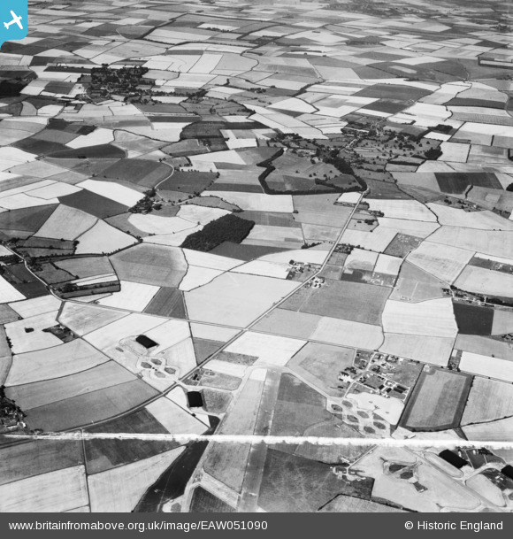
EAW051090 ENGLAND (1953). Randswood Farm, West Wratting Park and the village, West Wratting, 1953. This image was marked by Aerofilms Ltd for photo editing.
© Copyright OpenStreetMap contributors and licensed by the OpenStreetMap Foundation. 2026. Cartography is licensed as CC BY-SA.
Nearby Images (8)
EAW051090

EAW051091

EAW051095

EAW051096

EAW051093

EAW051094

EAW051089

EAW051092

Details
| Title | [EAW051090] Randswood Farm, West Wratting Park and the village, West Wratting, 1953. This image was marked by Aerofilms Ltd for photo editing. |
| Reference | EAW051090 |
| Date | 10-August-1953 |
| Link | |
| Place name | WEST WRATTING |
| Parish | WEST WRATTING |
| District | |
| Country | ENGLAND |
| Easting / Northing | 562416, 250717 |
| Longitude / Latitude | 0.37313462762959, 52.130445102542 |
| National Grid Reference | TL624507 |
Pins

Matt Aldred edob.mattaldred.com |
Thursday 21st of November 2024 12:40:05 PM | |
|
Matt Aldred edob.mattaldred.com |
Tuesday 4th of October 2022 05:23:35 PM | |

Graham Yaxley |
Sunday 18th of January 2015 02:09:21 PM |