
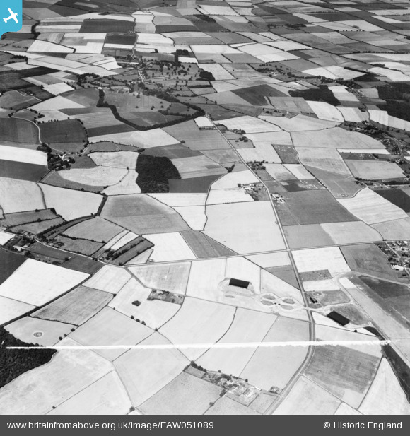
EAW051089 ENGLAND (1953). Randswood Farm, West Wratting Park and the village, West Wratting, 1953. This image was marked by Aerofilms Ltd for photo editing.
© Copyright OpenStreetMap contributors and licensed by the OpenStreetMap Foundation. 2026. Cartography is licensed as CC BY-SA.
Nearby Images (3)
EAW051089

EAW051091

EAW051090

Details
| Title | [EAW051089] Randswood Farm, West Wratting Park and the village, West Wratting, 1953. This image was marked by Aerofilms Ltd for photo editing. |
| Reference | EAW051089 |
| Date | 10-August-1953 |
| Link | |
| Place name | WEST WRATTING |
| Parish | WEST WRATTING |
| District | |
| Country | ENGLAND |
| Easting / Northing | 562546, 250526 |
| Longitude / Latitude | 0.37494106608266, 52.128690971135 |
| National Grid Reference | TL625505 |
Pins

Graham Yaxley |
Sunday 18th of January 2015 02:06:44 PM |