
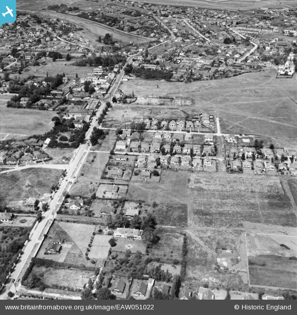
EAW051022 ENGLAND (1953). Furtherwick Road, Ash Road and environs, Canvey Island, 1953
© Copyright OpenStreetMap contributors and licensed by the OpenStreetMap Foundation. 2026. Cartography is licensed as CC BY-SA.
Nearby Images (6)
EAW051022

EAW026934

EAW051021

EAW021069

EAW051023

EAW026935

Details
| Title | [EAW051022] Furtherwick Road, Ash Road and environs, Canvey Island, 1953 |
| Reference | EAW051022 |
| Date | 3-August-1953 |
| Link | |
| Place name | CANVEY ISLAND |
| Parish | CANVEY ISLAND |
| District | |
| Country | ENGLAND |
| Easting / Northing | 580080, 183195 |
| Longitude / Latitude | 0.59583310078833, 51.518445166842 |
| National Grid Reference | TQ801832 |
Pins
Be the first to add a comment to this image!