
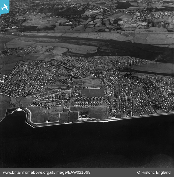
EAW021069 ENGLAND (1949). The town, Canvey Island, 1949. This image has been produced from a print.
© Copyright OpenStreetMap contributors and licensed by the OpenStreetMap Foundation. 2026. Cartography is licensed as CC BY-SA.
Nearby Images (5)
EAW021069

EAW051021

EAW026935

EAW026934

EAW051022

Details
| Title | [EAW021069] The town, Canvey Island, 1949. This image has been produced from a print. |
| Reference | EAW021069 |
| Date | 16-February-1949 |
| Link | |
| Place name | CANVEY ISLAND |
| Parish | CANVEY ISLAND |
| District | |
| Country | ENGLAND |
| Easting / Northing | 580270, 183302 |
| Longitude / Latitude | 0.59862363938011, 51.519345764524 |
| National Grid Reference | TQ803833 |
Pins
Be the first to add a comment to this image!