
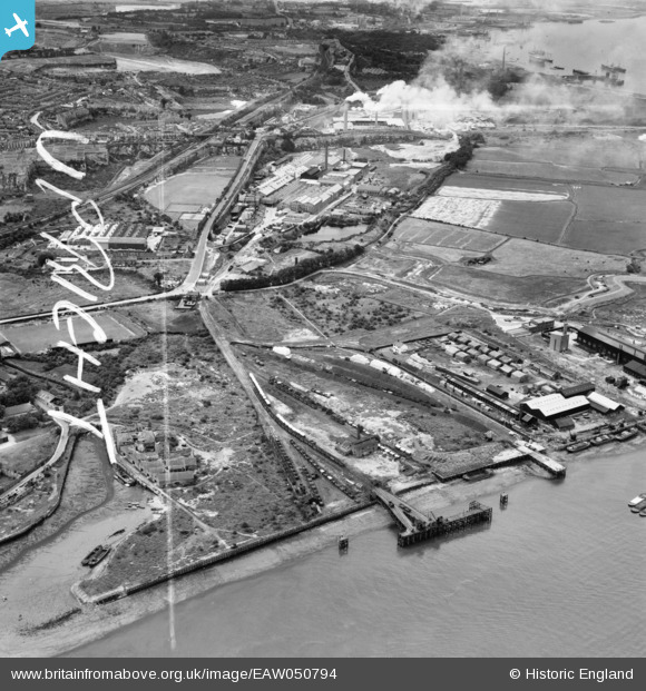
EAW050794 ENGLAND (1953). The Deep Water Pier, Tower Wharf, London Road and environs, Northfleet, 1953. This image was marked by Aerofilms Ltd for photo editing.
© Copyright OpenStreetMap contributors and licensed by the OpenStreetMap Foundation. 2026. Cartography is licensed as CC BY-SA.
Nearby Images (27)
EAW050794

EPW040726

EPW040727

EPW040729

EAW050795

EPW028497

EAW042587

EPW040728

EAW042588

EAW042591

EAW042583

EPW028499

EAW042577

EAW042585

EAW042590

EPW040736

EAW042580

EAW042589

EPW028500

EAW042586

EAW042579

EAW042582

EAW042584

EAW042581

EPW040735

EAW042578

EPW040953

Details
| Title | [EAW050794] The Deep Water Pier, Tower Wharf, London Road and environs, Northfleet, 1953. This image was marked by Aerofilms Ltd for photo editing. |
| Reference | EAW050794 |
| Date | 21-July-1953 |
| Link | |
| Place name | NORTHFLEET |
| Parish | |
| District | |
| Country | ENGLAND |
| Easting / Northing | 561396, 175082 |
| Longitude / Latitude | 0.3230486790894, 51.451197382565 |
| National Grid Reference | TQ614751 |
Pins

Dylan Moore |
Monday 17th of November 2014 05:10:08 PM | |
|
Dylan Moore |
Monday 17th of November 2014 05:09:25 PM | |
|
Dylan Moore |
Monday 17th of November 2014 05:08:49 PM | |
|
Dylan Moore |
Monday 17th of November 2014 05:08:01 PM | |
|
Dylan Moore |
Monday 17th of November 2014 05:06:07 PM |